Verified Providers
Review provider profiles, ratings, and credentials before you book.
browse the agtech catalog
Region
Pacific Coast
USDA zone
5a–11a
Services
20
Providers
10
Find verified agtech providers, compare options, and book the right team for your operation, all in one place.
Refine your search
Drill into a focus area, search the full catalog, or pivot by crop. Every path lands on the same vetted providers.
By focus area
4 subcategories under AgTech — each one bundles the providers, services, and crops most relevant to that focus area.
The full catalog
Matches
20 results
Filter by location, distance, crop, and price. Tap a card to view the storefront and request a quote.
By crop served
13 crops
Find agtech providers who specialize in your crop.
Why Agnomy
Review provider profiles, ratings, and credentials before you book.
Providers know agtech timing, regional conditions, and best practices in your area.
Compare quotes from multiple providers in one place. No chasing phone calls.
Book fast with real-time availability, automated reminders, and clear status updates.
Explore the catalog
See the full range of ag work available in California. Jump into another category to find the providers, services, and crops that fit your operation.
Browse another category
Frequently asked
What growers ask before they book agtech services on Agnomy.
Precision agriculture is the practice of measuring and responding to variability within a field instead of treating it as one uniform block. Using georeferenced data from drones, soil sensors, and GPS-guided equipment, growers apply water, fertilizer, and pesticides only where they are needed. This reduces input costs and waste while improving yields through early detection of crop stress.
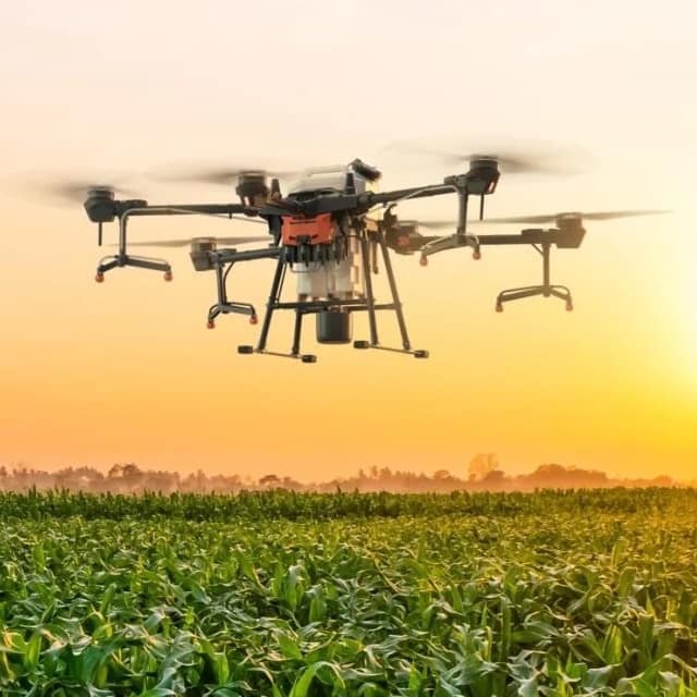
Agricultural drone services are usually priced per acre or per flight, and many growers find a service cheaper than buying hardware. Mid-range drones with advanced sensors run roughly $2,000 to $10,000, while individual soil moisture sensors can cost under $500 each. Hiring a service provider lets smaller California farms access the same crop-health insights without the upfront equipment investment.
AgTech covers the hardware, software, and data services used to run a farm more efficiently. Hardware includes drones, soil moisture and weather sensors, variable-rate applicators, and GPS auto-steer, while software includes farm management systems, irrigation scheduling tools, and predictive analytics. Together these tools help Central Valley growers monitor crop health, schedule irrigation, and track inputs for compliance reporting.
Yes, affordable drone services, sensor kits, and cloud platforms have made precision tools accessible to small and mid-size farms. Even a single field can benefit from targeted irrigation scheduling and early pest detection, which save water and reduce chemical use. Because many tools are offered as a service, growers can start without large capital purchases. Agnomy connects growers with vetted AgTech providers who match the technology to the operation.
Ready when you are
Connect with verified providers and request quotes in minutes.
AgTech in California
From the blog
Field notes, seasonal guides, and grower interviews — straight from the team.
 Technology & Innovation
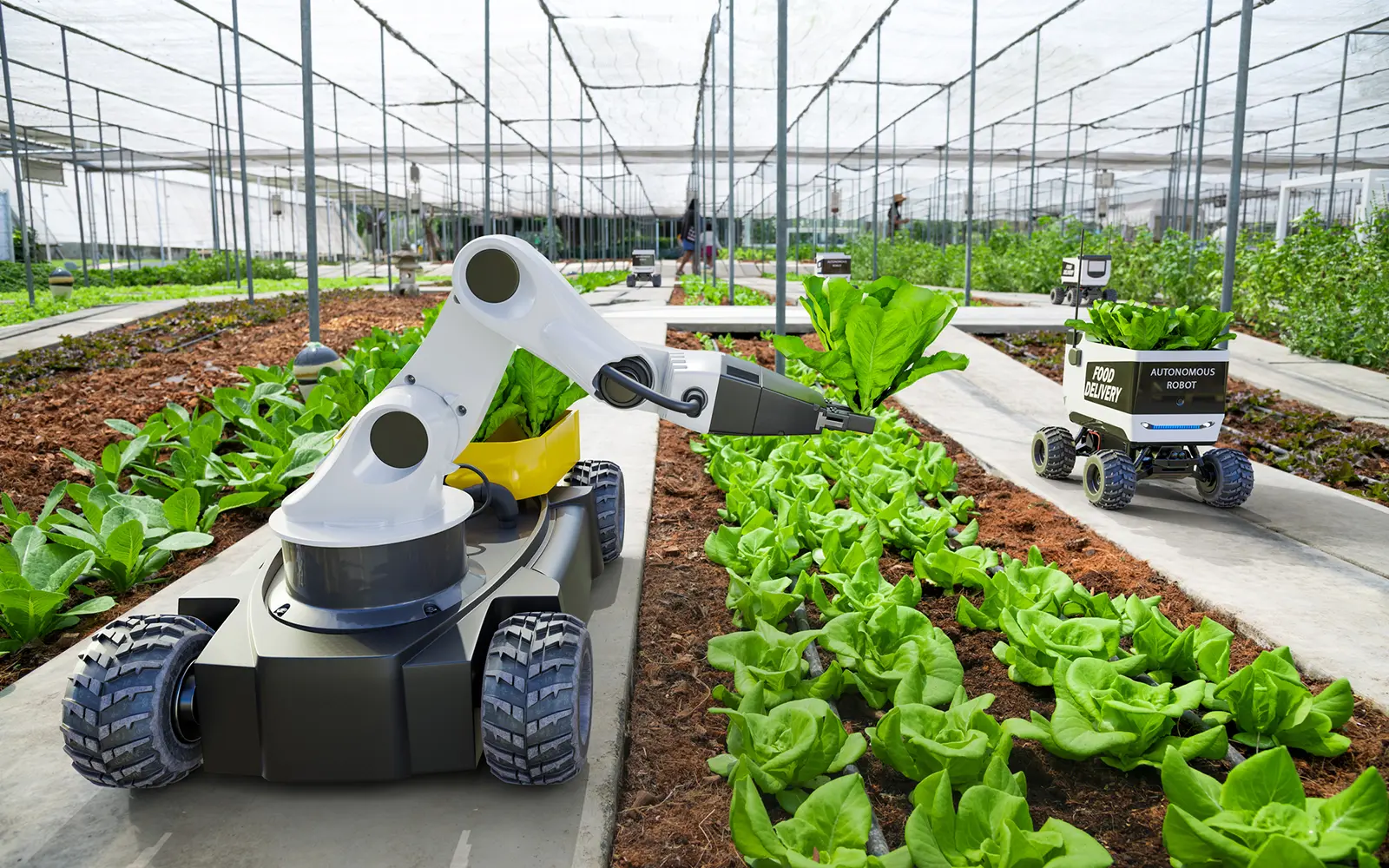
Agriculture today involves much more than growing crops. Learn how modern AgTech tools are helping farmers manage schedules, teams, employee hours, customer relationships, invoices, reporting, and day-to-day operations from one place.
 Technology & Innovation
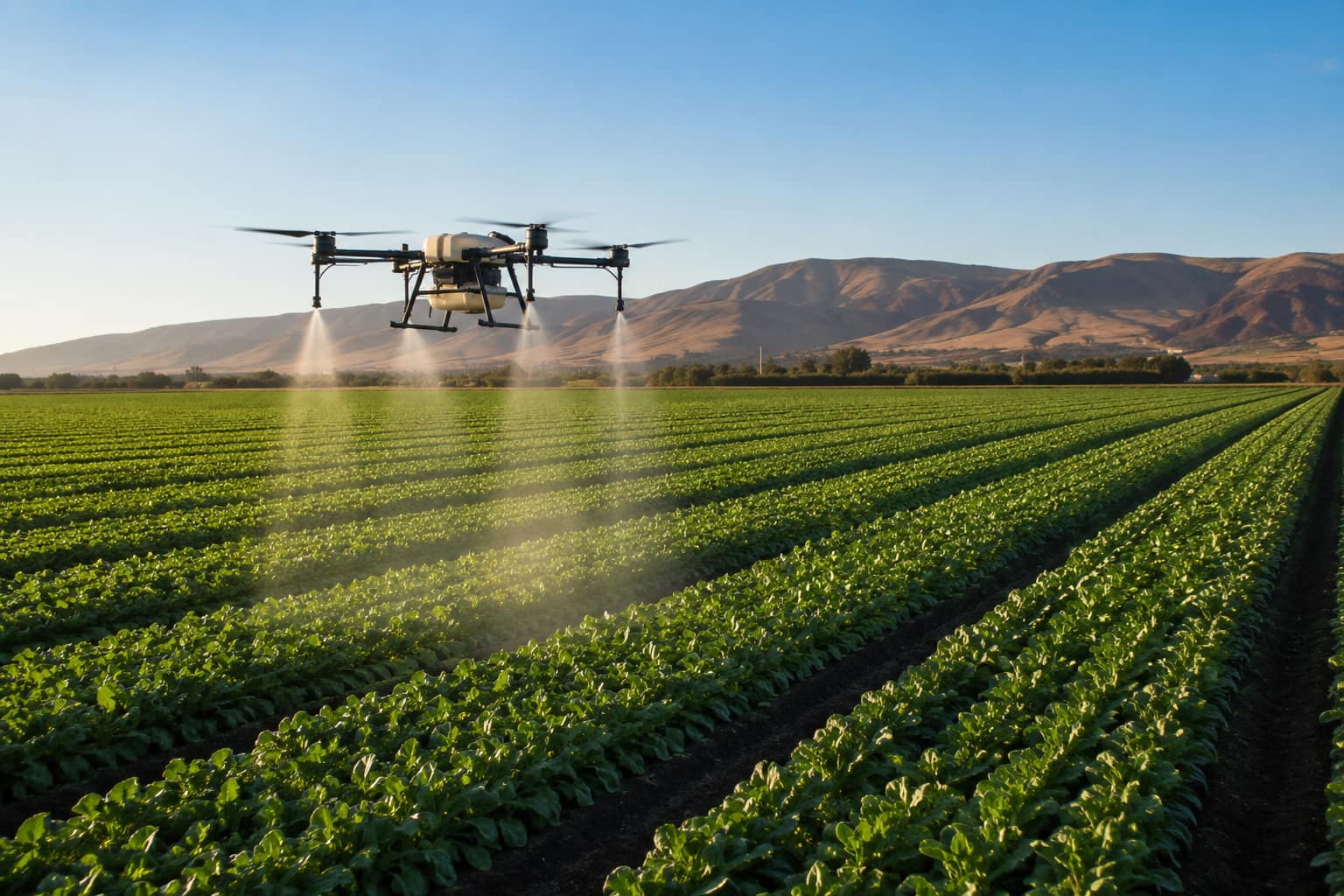
What agricultural drone services actually do, what they cost per acre in California, the FAA and DPR licenses a legitimate operator must hold, and how to hire one.
 Industry News
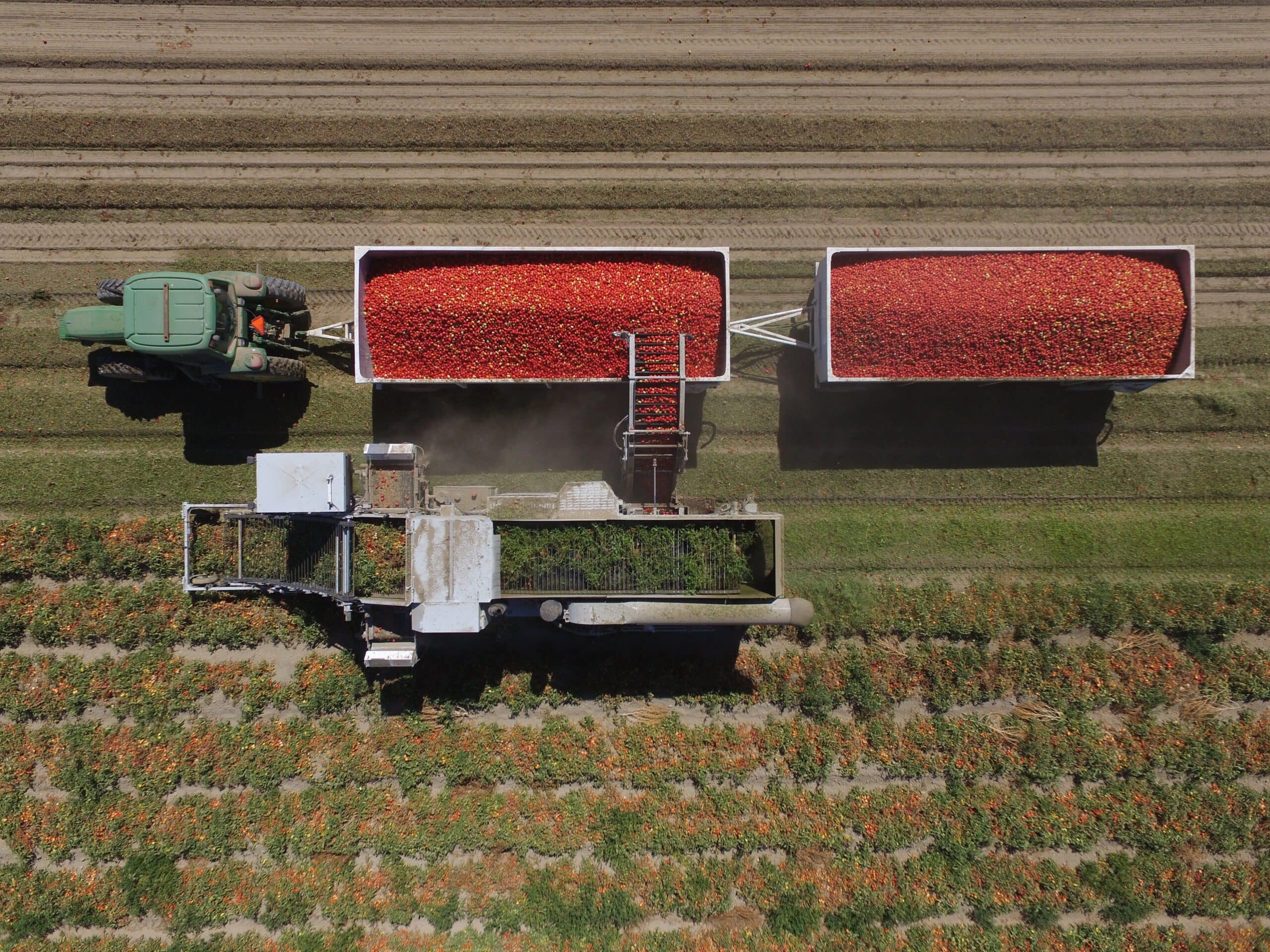
California's processing tomato harvest is underway. We break down the latest crop forecast, contract pricing, market demand, harvest conditions, and the biggest issues growers are watching this season.
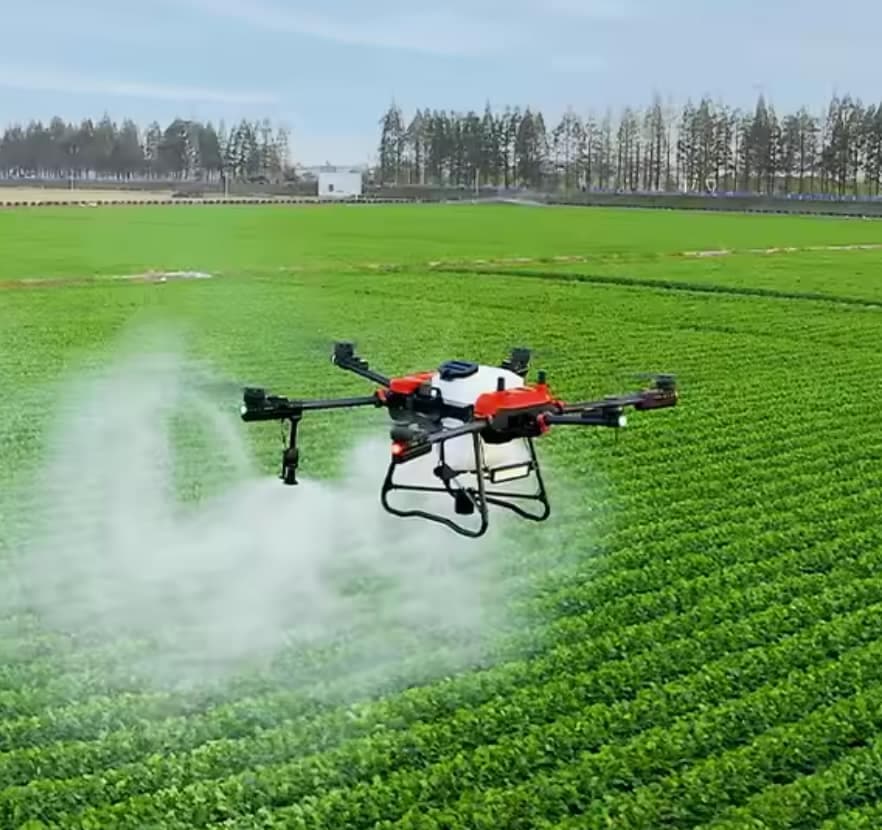
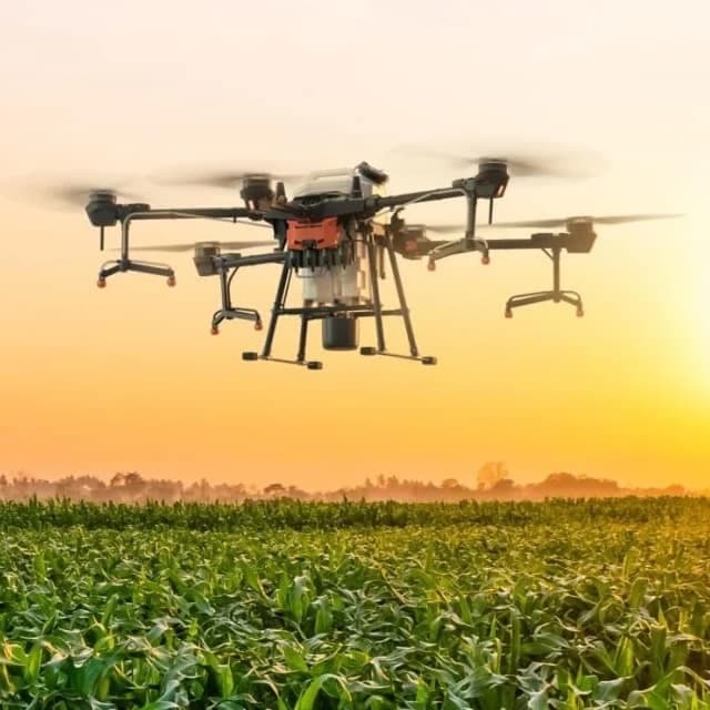
Drone fertilizer application provides precise, efficient nutrient distribution, improving crop health, reducing waste, and enhancing overall farm productivity.
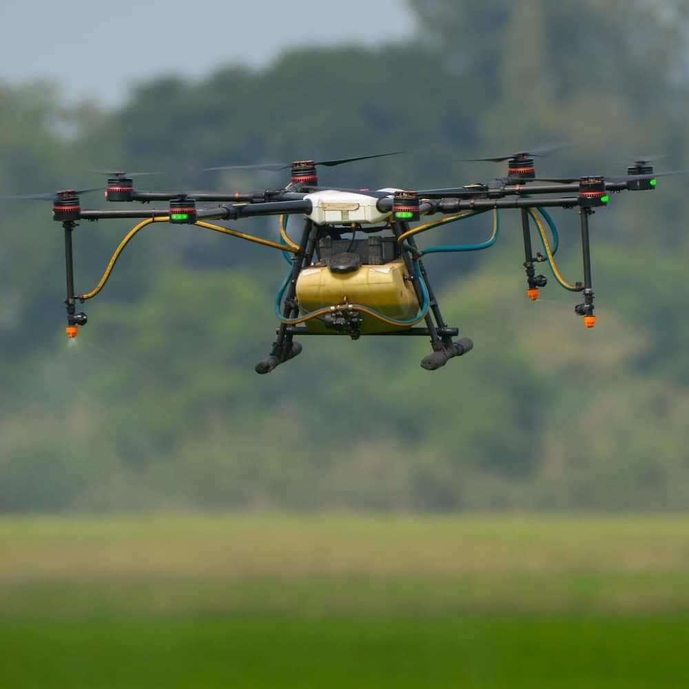
Drone pesticide application provides precise, efficient, and environmentally friendly crop protection by reducing chemical waste, minimizing labor costs, and ensuring optimal coverage.
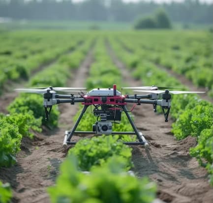
Drone sanitization services provide efficient, aerial disinfection for agricultural spaces, equipment, and livestock areas, ensuring a cleaner and healthier environment with optimized chemical use.
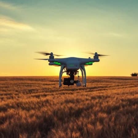
Drone service providers offer efficient pest survey solutions, using aerial imagery and multispectral sensors to detect infestations and guide targeted pest control strategies.
Drone orthomosaic mapping services from Agnomys provide high-resolution, georeferenced aerial imagery to help farmers visualize, measure, and manage their land with greater precision and efficiency.
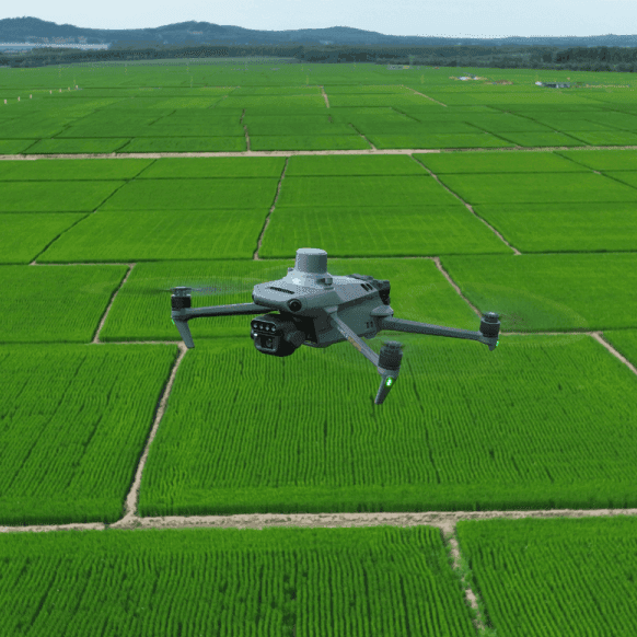
Drone multispectral survey services from Agnomys provide high-resolution insights into crop health, soil conditions, and field variability to support precision agriculture and smarter farming decisions.
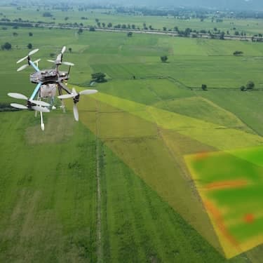
Drone 3D mapping and terrain modeling services from Agnomys provide detailed elevation data and topographic insights to help farmers improve land planning, optimize irrigation, and support precision agriculture.
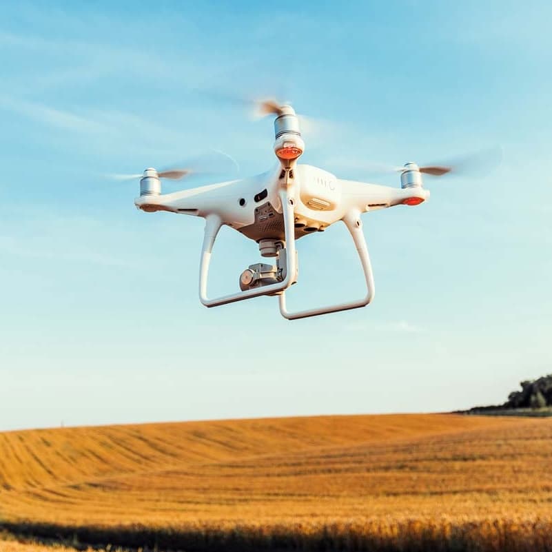
Agnomys connects farmers with drone service providers who capture high-resolution aerial photos and videos for crop monitoring, project tracking, and marketing content.
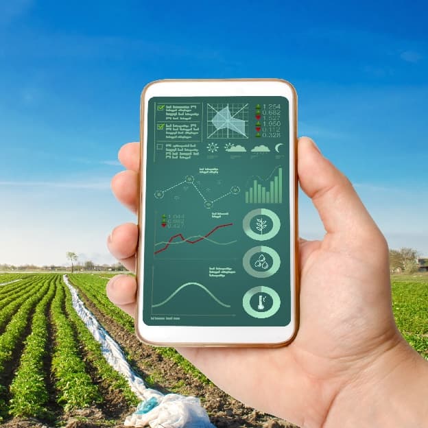
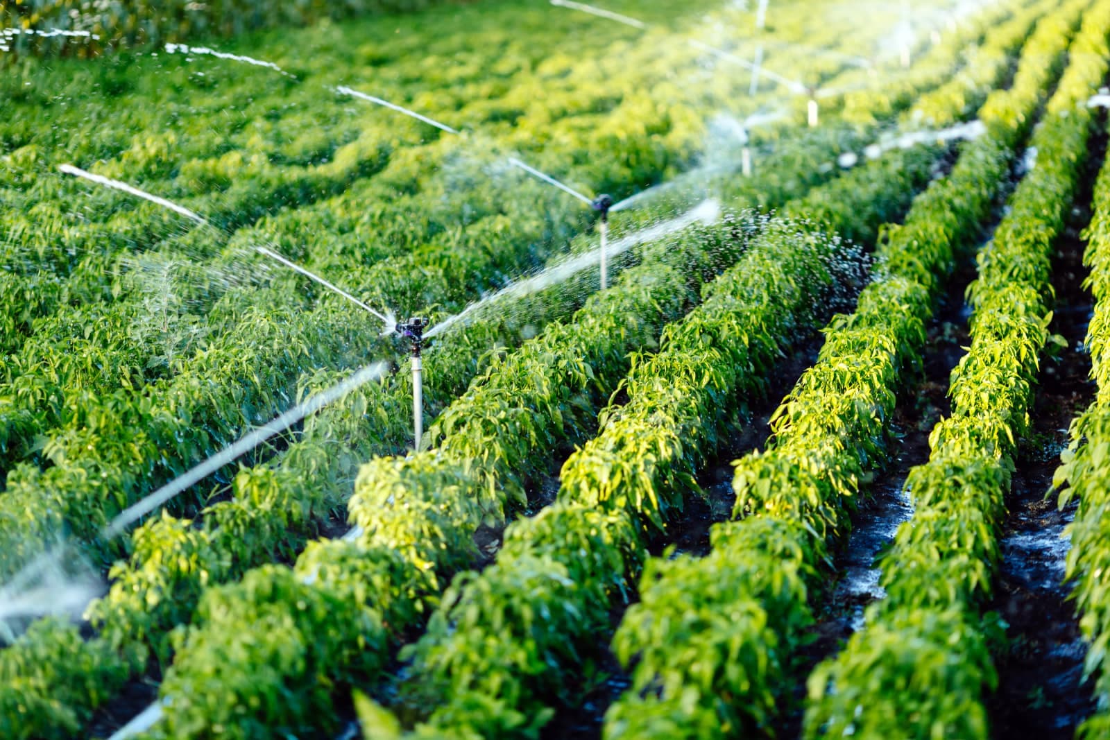
Smart irrigation systems optimize water usage through automation and real-time data, improving efficiency and sustainability for agricultural operations.
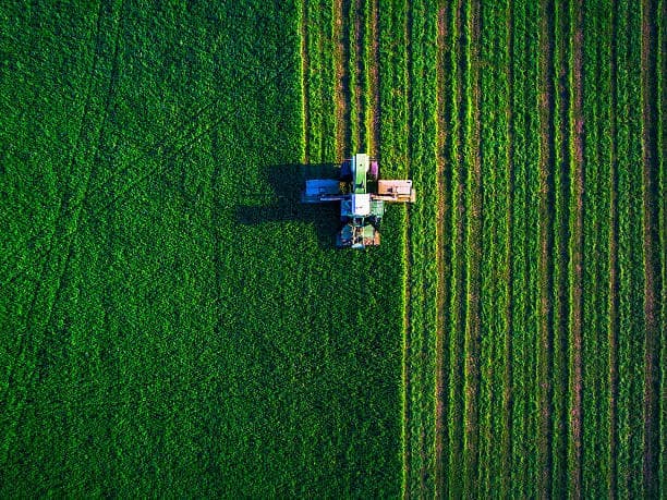
Aerial imagery services provide high-resolution drone and satellite data to help farmers monitor crop health, assess field conditions, optimize irrigation, and improve overall farm management.
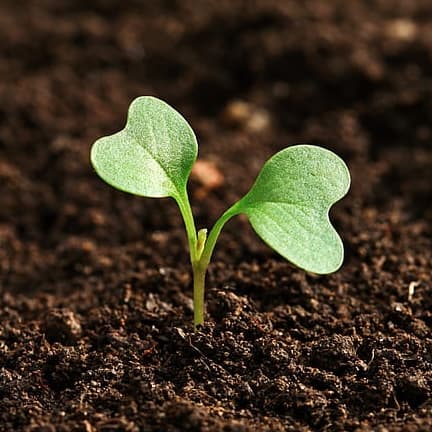
Manure and compost analysis services provide essential insights into nutrient content, organic matter, pH balance, and potential contaminants, helping farmers optimize soil fertility and sustainable crop production.
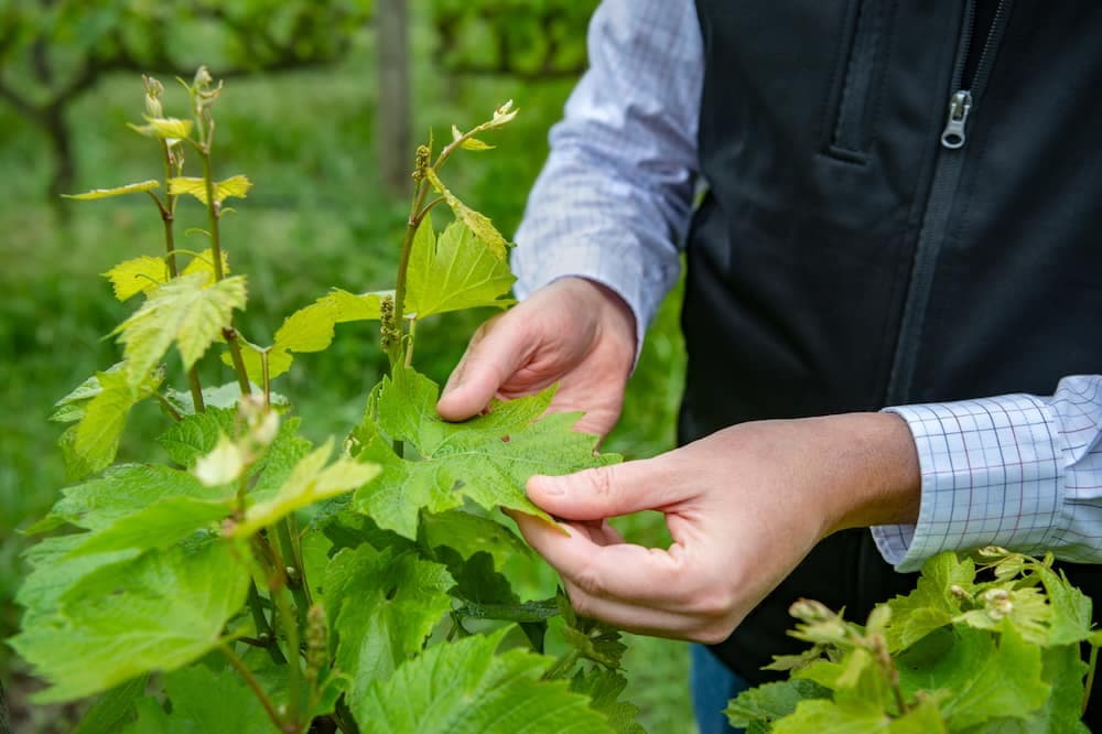
Tissue analysis helps farmers monitor plant health, detect nutrient deficiencies, and optimize fertilization strategies for improved crop performance and yield.
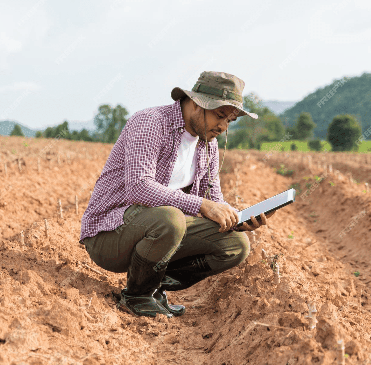
GPS soil sampling uses advanced technology to analyze soil conditions with precision, providing farmers with detailed data on nutrients, pH levels, and moisture to optimize crop management and sustainability.
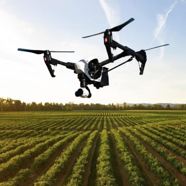
Agnomys connects farmers with drone service providers to inspect, analyze, and document irrigation systems using aerial video and imagery for efficient water distribution and system performance.
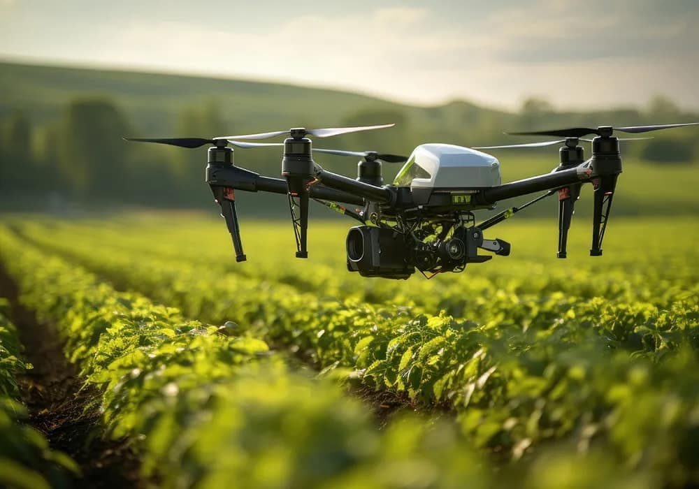
Drone seeding services provide a precise and efficient method for planting crops, cover crops, and restoring vegetation, reducing labor costs and reaching difficult terrain with advanced aerial technology.
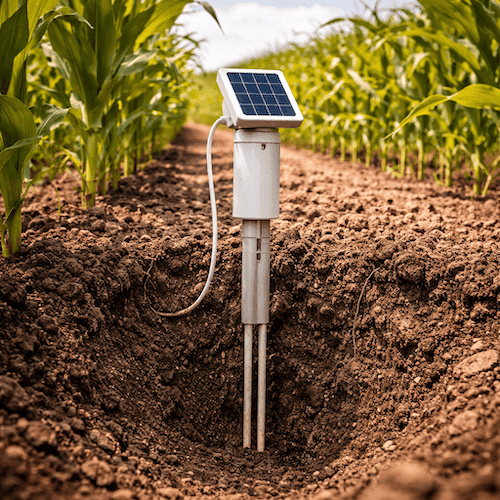
Soil probe sale, lease, and installation services to monitor soil moisture and improve irrigation decision-making.

EC Mapping services use advanced technology to analyze soil variability, helping farmers optimize irrigation, fertilization, and crop management for improved yields and efficiency.
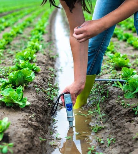
Comprehensive agricultural water analysis ensures optimal irrigation, livestock health, and regulatory compliance by testing for pH, salinity, nutrients, contaminants, and overall water quality.
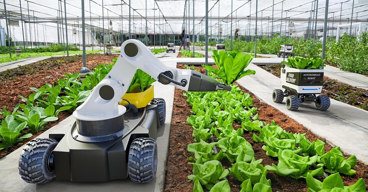
Ag automation services enhance farming efficiency by utilizing precision technology, automated irrigation, smart harvesting, robotics, and data-driven management to optimize productivity and reduce labor costs.
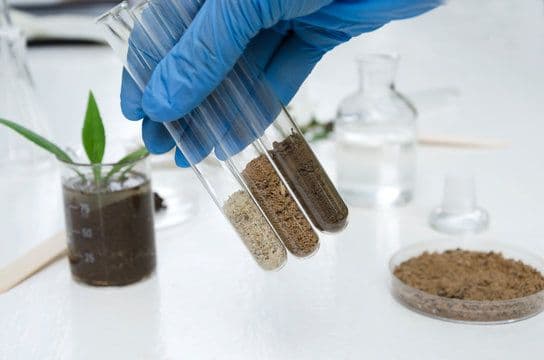
Comprehensive soil analysis services provide farmers with essential insights into soil health, including nutrient levels, pH balance, organic matter, moisture content, and contamination, enabling precise land management and improved crop productivity.