
TA
AgTech
2
Providers
Free
Quote requests
100%
Verified
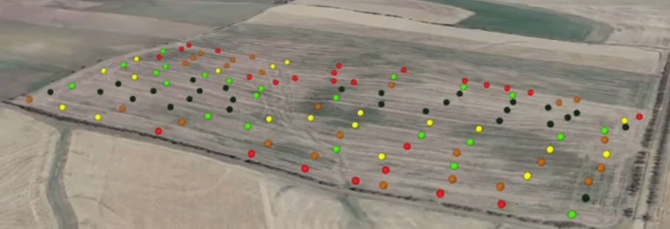
GPS soil sampling uses advanced technology to analyze soil conditions with precision, providing farmers with detailed data on nutrients, pH levels, and moisture to optimize crop management and sustainability.
Same category
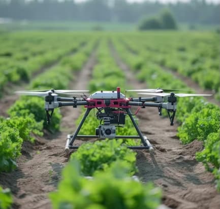
Drone service providers offer efficient pest survey solutions, using aerial imagery and multispectral sensors to detect infestations and guide targeted pest control strategies.
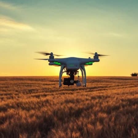
Drone orthomosaic mapping services from Agnomys provide high-resolution, georeferenced aerial imagery to help farmers visualize, measure, and manage their land with greater precision and efficiency.
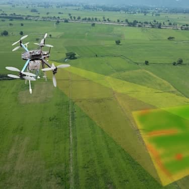
Drone 3D mapping and terrain modeling services from Agnomys provide detailed elevation data and topographic insights to help farmers improve land planning, optimize irrigation, and support precision agriculture.
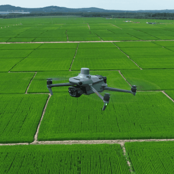
Drone multispectral survey services from Agnomys provide high-resolution insights into crop health, soil conditions, and field variability to support precision agriculture and smarter farming decisions.

Agnomys connects farmers with drone service providers who capture high-resolution aerial photos and videos for crop monitoring, project tracking, and marketing content.
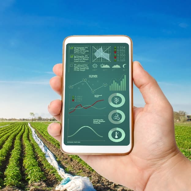
Smart irrigation systems optimize water usage through automation and real-time data, improving efficiency and sustainability for agricultural operations.
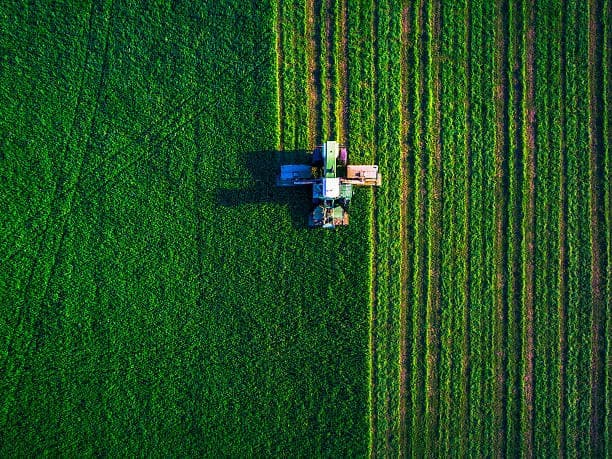
Aerial imagery services provide high-resolution drone and satellite data to help farmers monitor crop health, assess field conditions, optimize irrigation, and improve overall farm management.
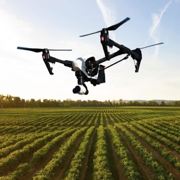
Agnomys connects farmers with drone service providers to inspect, analyze, and document irrigation systems using aerial video and imagery for efficient water distribution and system performance.
Show all
Overview
“GPS soil sampling is a precision agriculture service that helps farmers and growers analyze soil conditions for improved crop management and yield optimization”
GPS soil sampling is a precision agriculture service that helps farmers and growers analyze soil conditions for improved crop management and yield optimization. Agnomy’s service providers use advanced GPS-guided technology to collect accurate soil data, ensuring precise nutrient management and better decision-making.
With GPS soil sampling services, farmers can make informed decisions to maximize productivity while maintaining soil health for long-term sustainability.
Compare 2 verified providers, see transparent pricing, and lock in your window.
GPS Soil Sampling
From the blog
Field notes, seasonal guides, and grower interviews — straight from the team.
 Industry News
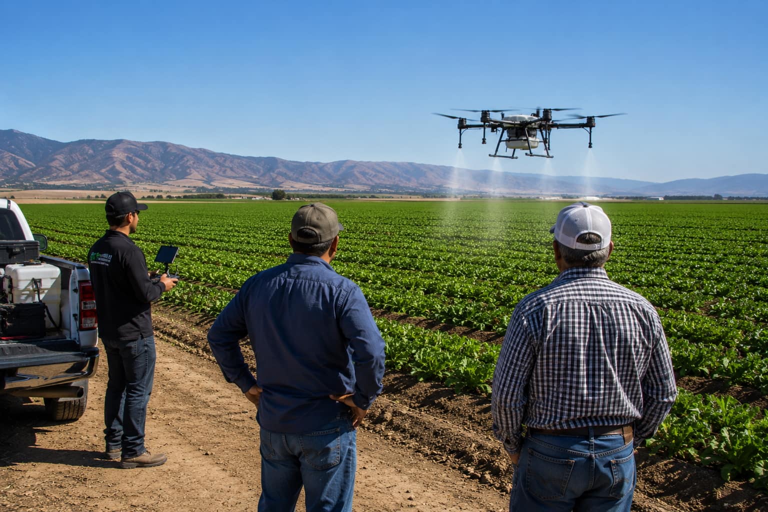
Agriculture has become more specialized, and many growers are discovering that hiring experienced agricultural service providers can be more efficient than owning every piece of equipment. Here's why the modern farm is evolving.
 Technology & Innovation
Agriculture today involves much more than growing crops. Learn how modern AgTech tools are helping farmers manage schedules, teams, employee hours, customer relationships, invoices, reporting, and day-to-day operations from one place.
 Technology & Innovation
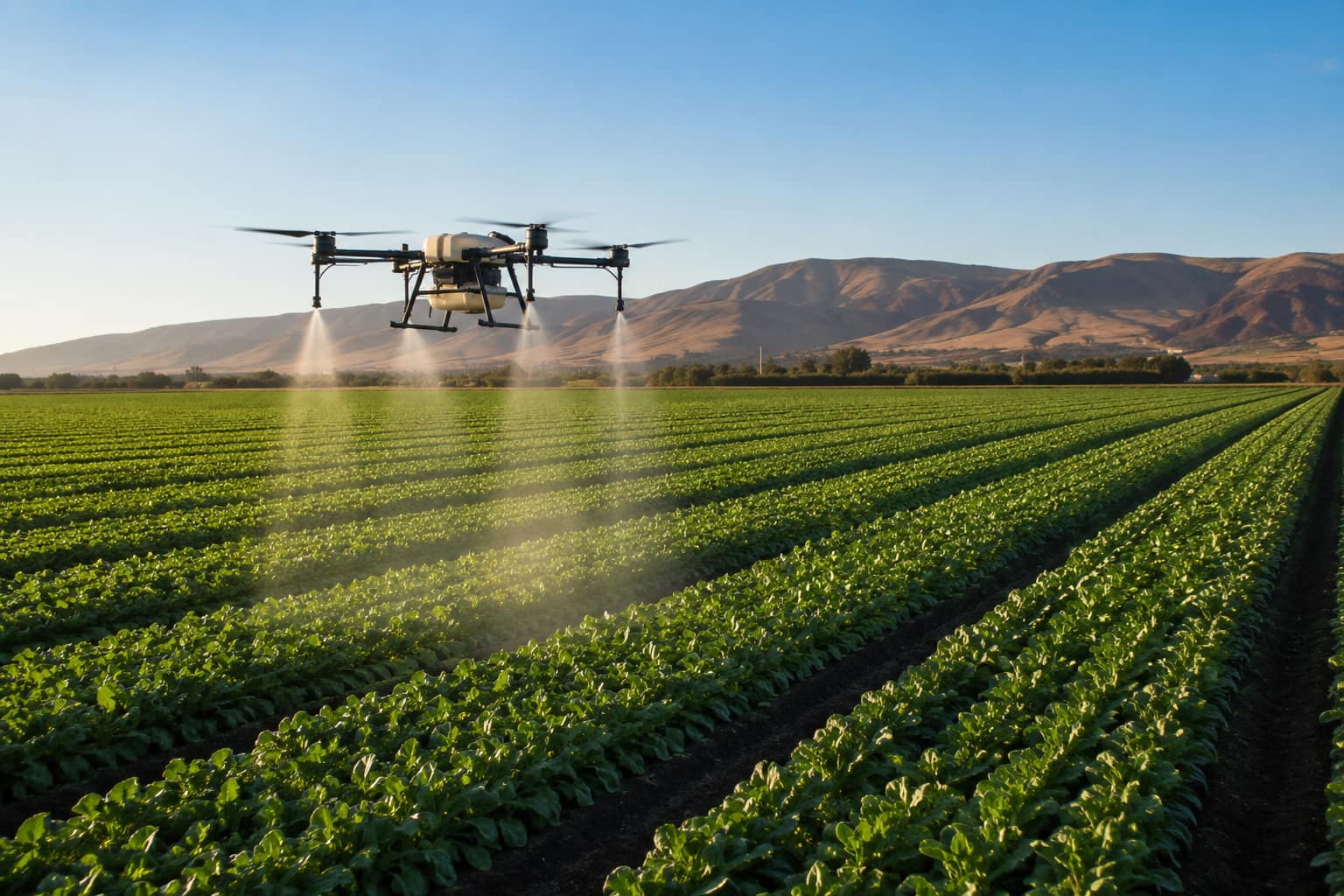
What agricultural drone services actually do, what they cost per acre in California, the FAA and DPR licenses a legitimate operator must hold, and how to hire one.