Category
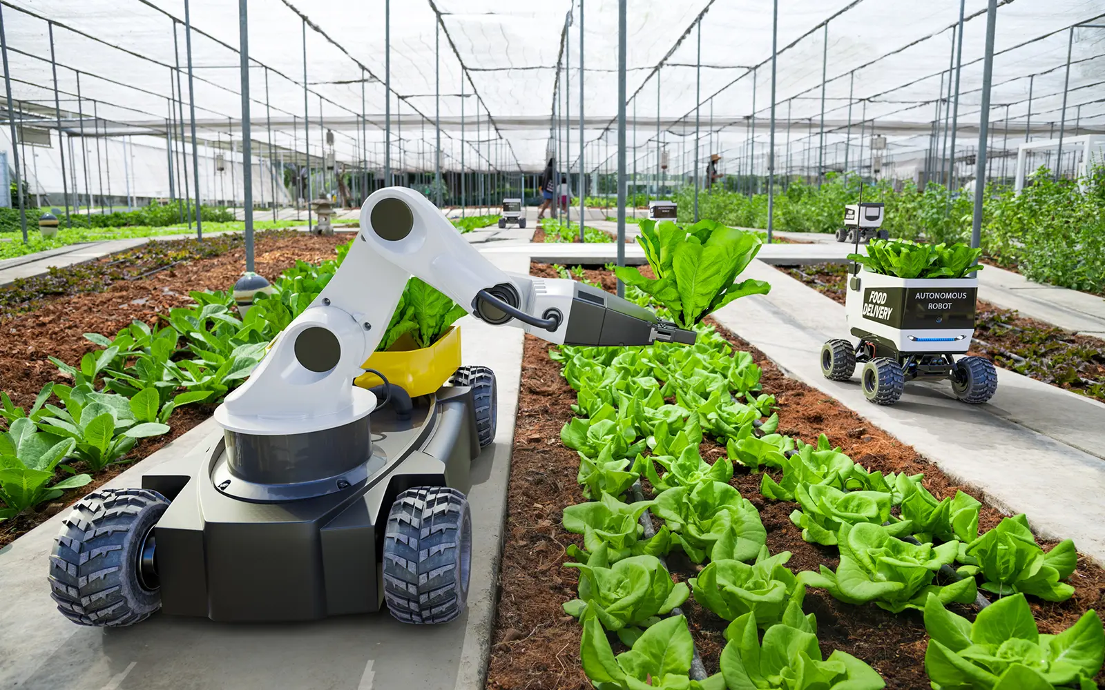
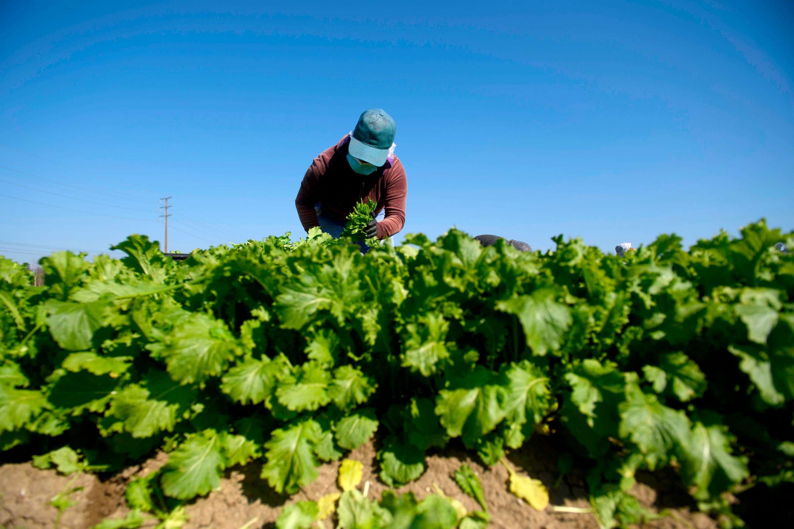
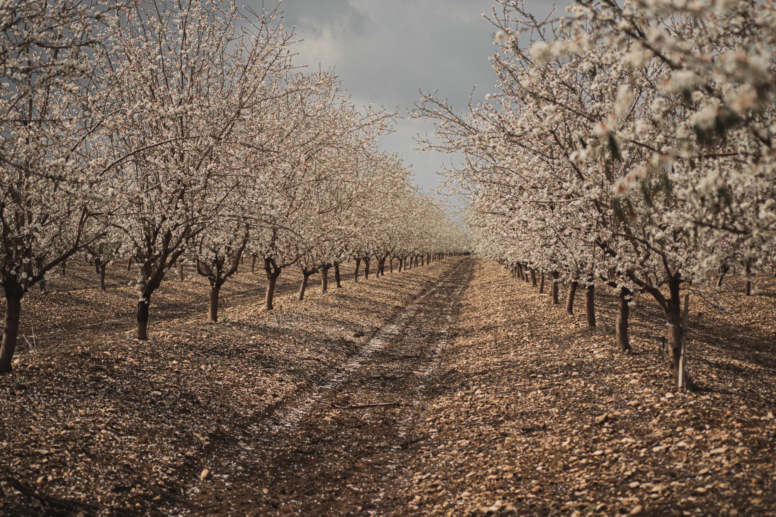
AgTech on Agnomy
Browse agtech on Agnomy.
24
Services
9
Providers
5
Subcategories
16
Cities
Refine your search
Five ways to browse agtech
Drill into a focus area, scan our top picks, search the full catalog, pivot by crop, or zero in by city. Every path lands on the same vetted providers.
By focus area
Browse agtech subcategories
4 subcategories under AgTech — each one bundles the providers, services, and crops most relevant to that focus area.
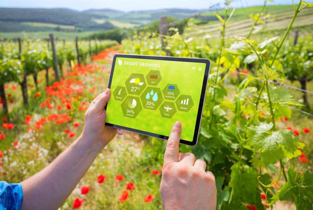

Top services
Top agtech services
A rotating selection of the most-booked services in this scope. See them all in the marketplace below.

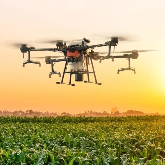
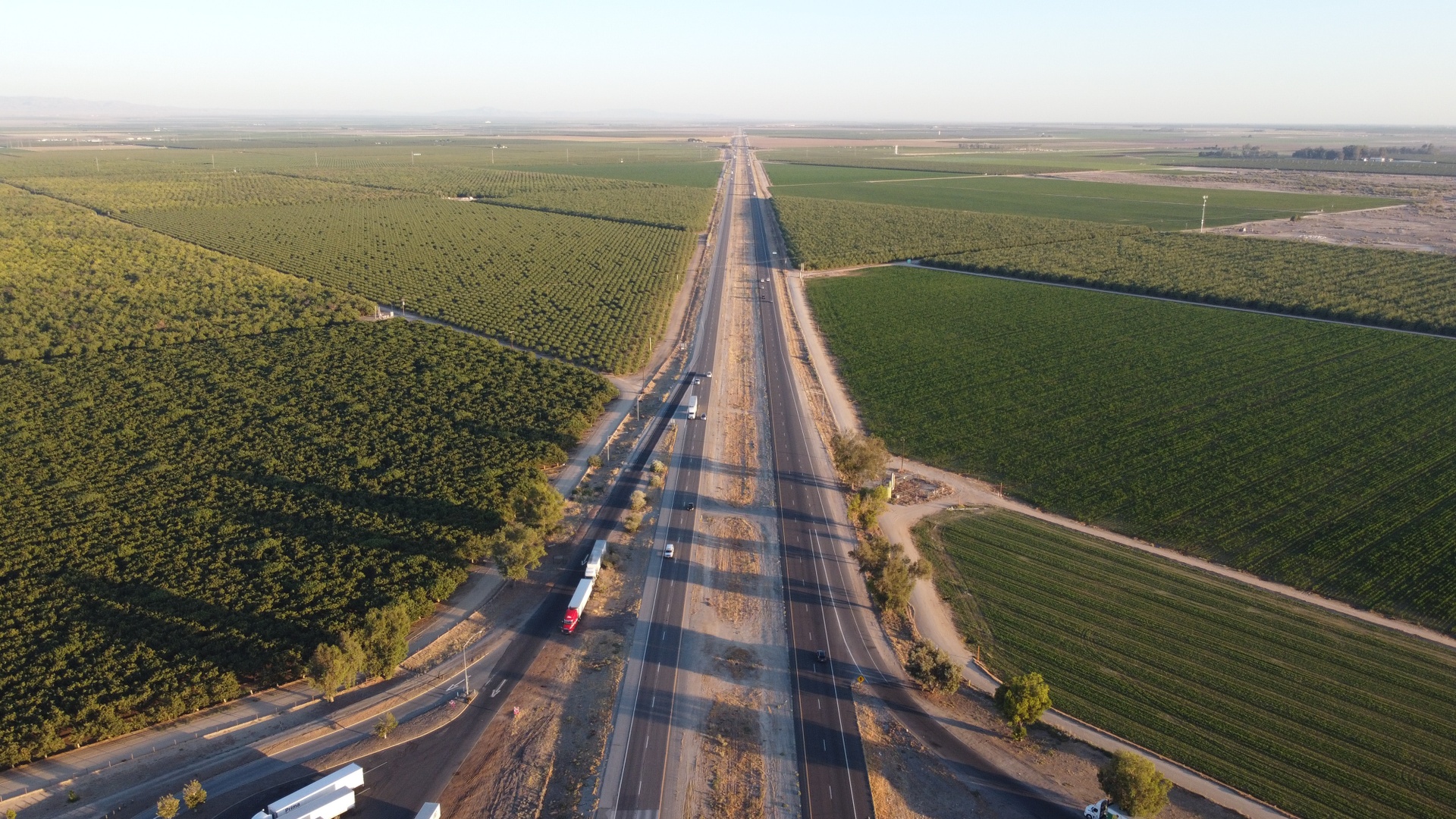
Drone Fertilizer Services
Drone fertilizer application provides precise, efficient nutrient distribution, improving crop health, reducing waste, and enhancing overall farm productivity.

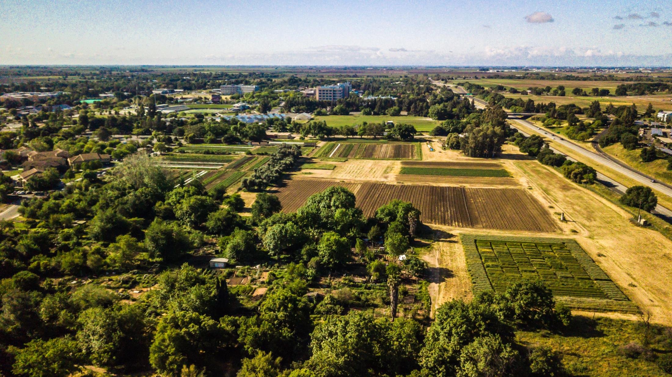
Drone Pest Surveys
Drone service providers offer efficient pest survey solutions, using aerial imagery and multispectral sensors to detect infestations and guide targeted pest control strategies.

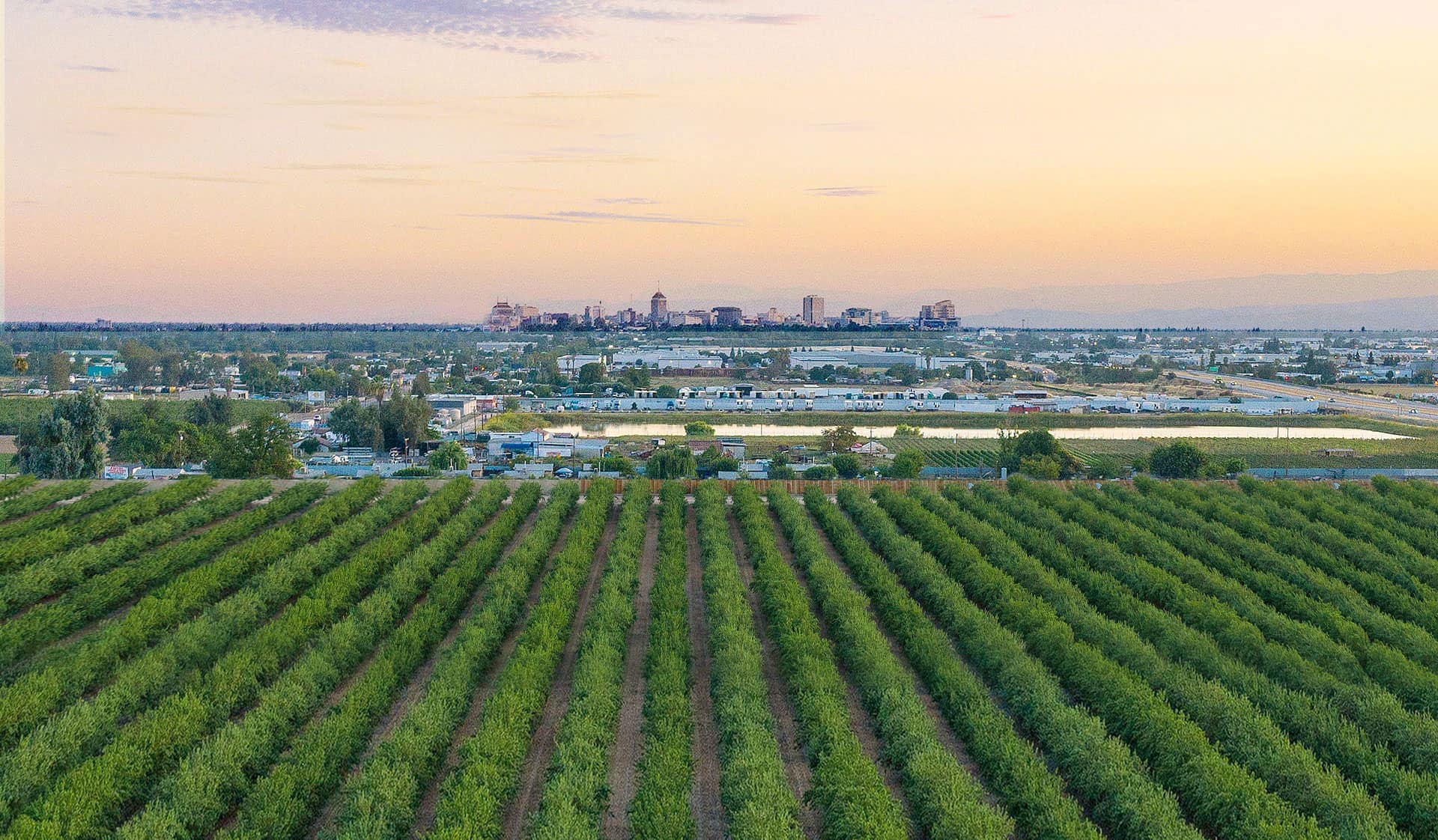
Drone Pesticide Services
Drone pesticide application provides precise, efficient, and environmentally friendly crop protection by reducing chemical waste, minimizing labor costs, and ensuring optimal coverage.

Drone Sanitization Services
Drone sanitization services provide efficient, aerial disinfection for agricultural spaces, equipment, and livestock areas, ensuring a cleaner and healthier environment with optimized chemical use.

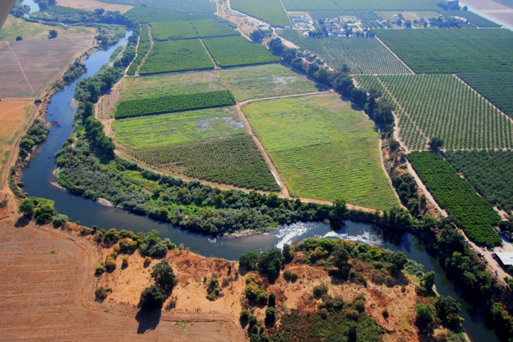
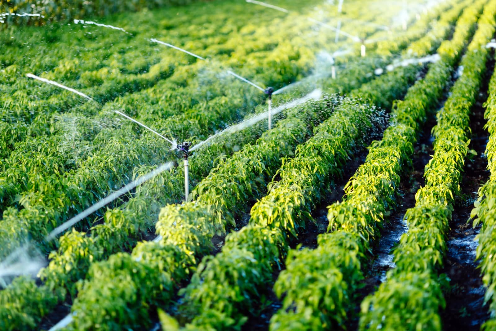
Drone Irrigation Inspection
Agnomys connects farmers with drone service providers to inspect, analyze, and document irrigation systems using aerial video and imagery for efficient water distribution and system performance.

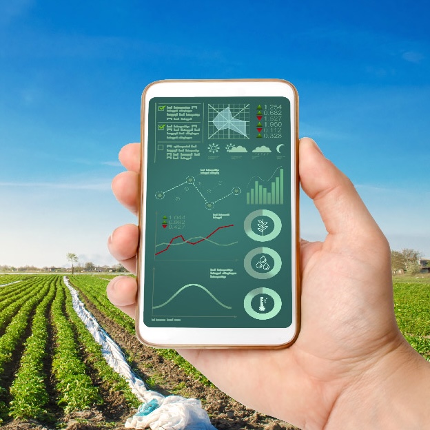
Drone Multispectral Surveys
Drone multispectral survey services from Agnomys provide high-resolution insights into crop health, soil conditions, and field variability to support precision agriculture and smarter farming decisions.

Drone Orthomosaic Mapping
Drone orthomosaic mapping services from Agnomys provide high-resolution, georeferenced aerial imagery to help farmers visualize, measure, and manage their land with greater precision and efficiency.

Drone Site Photo & Video
Agnomys connects farmers with drone service providers who capture high-resolution aerial photos and videos for crop monitoring, project tracking, and marketing content.
The full catalog
Browse agtech services & providers
Matches
24 results
Filter by location, distance, crop, and price. Tap a card to view the storefront and request a quote.
By crop served
12 crops
Find agtech providers who specialize in your crop.
Service area
Cities with active providers
16 hubs with verified operators running jobs. Drop into one to compare providers, prices, and availability.


Explore the catalog
Explore other ag service categories
Agnomy covers the full range of ag work. Jump into another category to find the providers, services, and crops that fit your operation.
Browse another category


Now make it local
See agtech providers in your area
This page is the network reference. To compare actual providers, prices and availability in your zip code, jump to a local hub.
AgTech