



AgTech
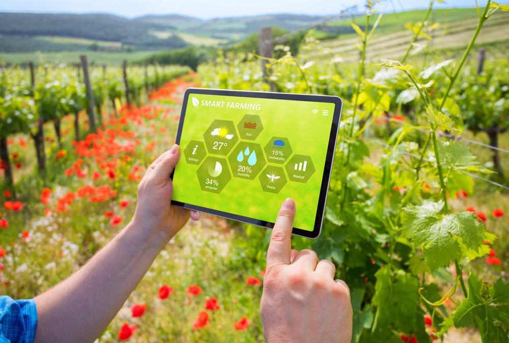
Connected farm technology and automation, including GPS guidance, variable rate application, IoT sensors, and remote monitoring that turn field data into more precise, efficient operations.
13
Services
12
Providers
0
Crops served
16
Cities
Refine your search
Scan our top picks, search the full catalog, or zero in by city. Every path lands on the same vetted providers.
Top services
A rotating selection of the most-booked services in this scope. See them all in the marketplace below.
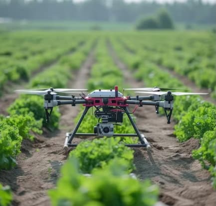
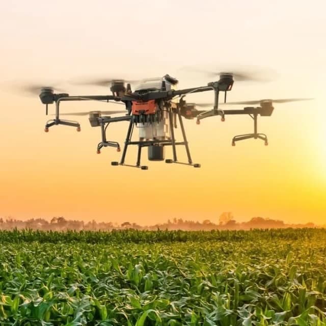
Drone service providers offer efficient pest survey solutions, using aerial imagery and multispectral sensors to detect infestations and guide targeted pest control strategies.
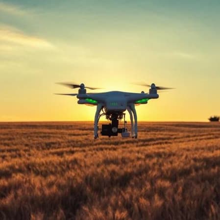
Drone orthomosaic mapping services from Agnomys provide high-resolution, georeferenced aerial imagery to help farmers visualize, measure, and manage their land with greater precision and efficiency.
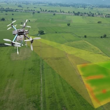
Drone 3D mapping and terrain modeling services from Agnomys provide detailed elevation data and topographic insights to help farmers improve land planning, optimize irrigation, and support precision agriculture.
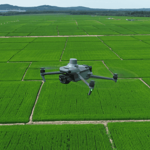
Drone multispectral survey services from Agnomys provide high-resolution insights into crop health, soil conditions, and field variability to support precision agriculture and smarter farming decisions.
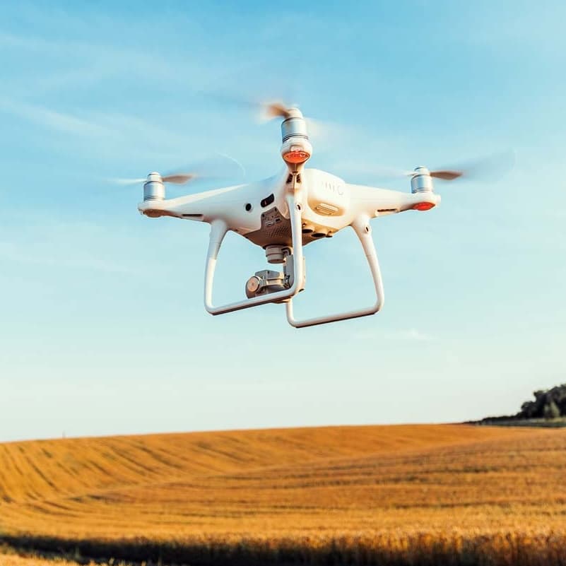
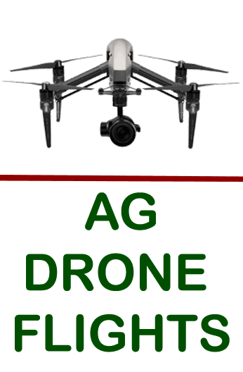
Agnomys connects farmers with drone service providers who capture high-resolution aerial photos and videos for crop monitoring, project tracking, and marketing content.
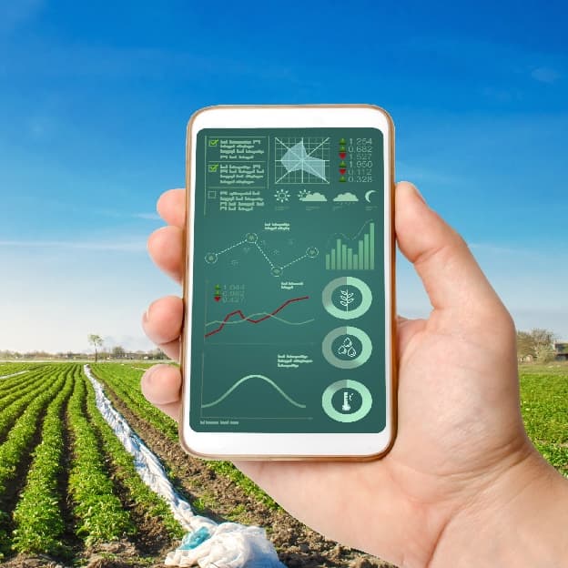
Smart irrigation systems optimize water usage through automation and real-time data, improving efficiency and sustainability for agricultural operations.
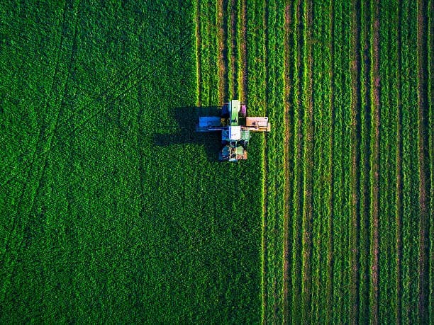
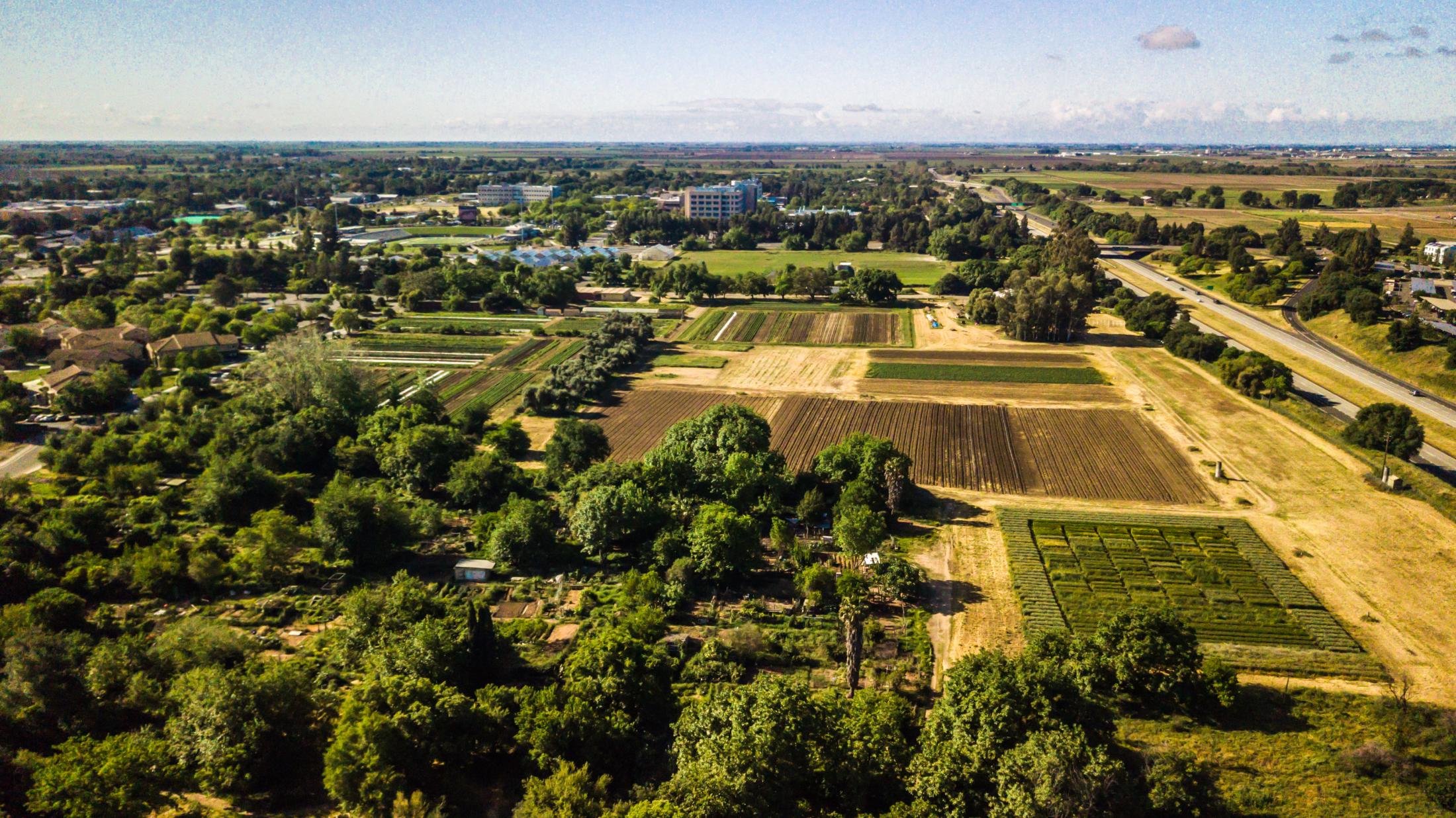
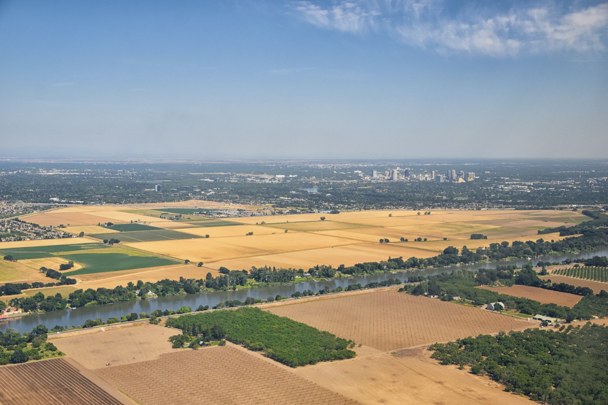
Aerial imagery services provide high-resolution drone and satellite data to help farmers monitor crop health, assess field conditions, optimize irrigation, and improve overall farm management.
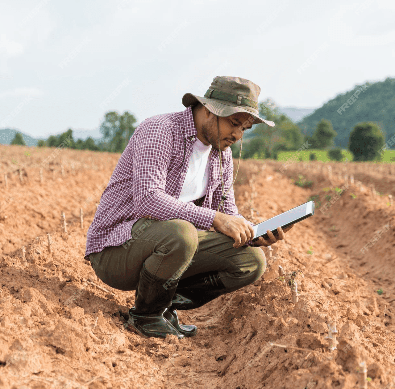
GPS soil sampling uses advanced technology to analyze soil conditions with precision, providing farmers with detailed data on nutrients, pH levels, and moisture to optimize crop management and sustainability.
The full catalog
Matches
13 results
Filter by location, distance, crop, and price. Tap a card to view the storefront and request a quote.
Service area
16 hubs with verified operators running jobs. Drop into one to compare providers, prices, and availability.
Explore the category
Browse related work under AgTech to find the providers, services, and crops that fit your operation.
More in AgTech
Frequently asked
What growers ask before they book on Agnomy.
Now make it local
This page is the network reference. To compare actual providers, prices and availability in your zip code, jump to a local hub.
Smart Farm
From the blog
Field notes, seasonal guides, and grower interviews — straight from the team.
 Industry News
Agriculture has become more specialized, and many growers are discovering that hiring experienced agricultural service providers can be more efficient than owning every piece of equipment. Here's why the modern farm is evolving.
 Technology & Innovation
Agriculture today involves much more than growing crops. Learn how modern AgTech tools are helping farmers manage schedules, teams, employee hours, customer relationships, invoices, reporting, and day-to-day operations from one place.
 Technology & Innovation
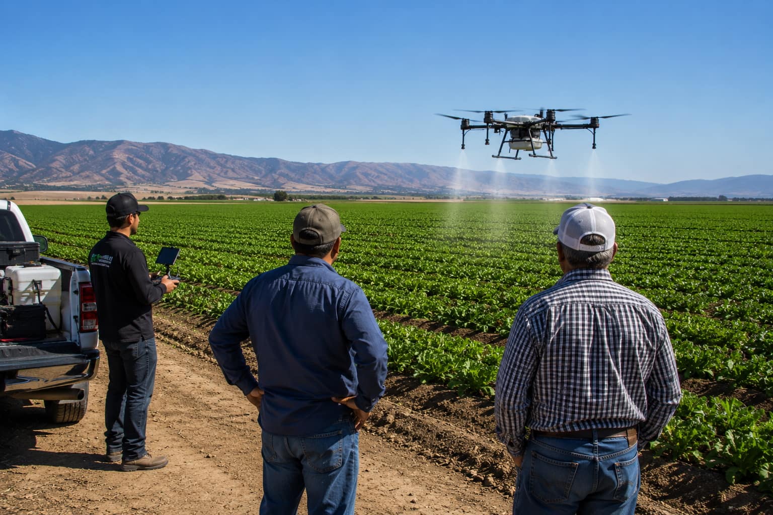
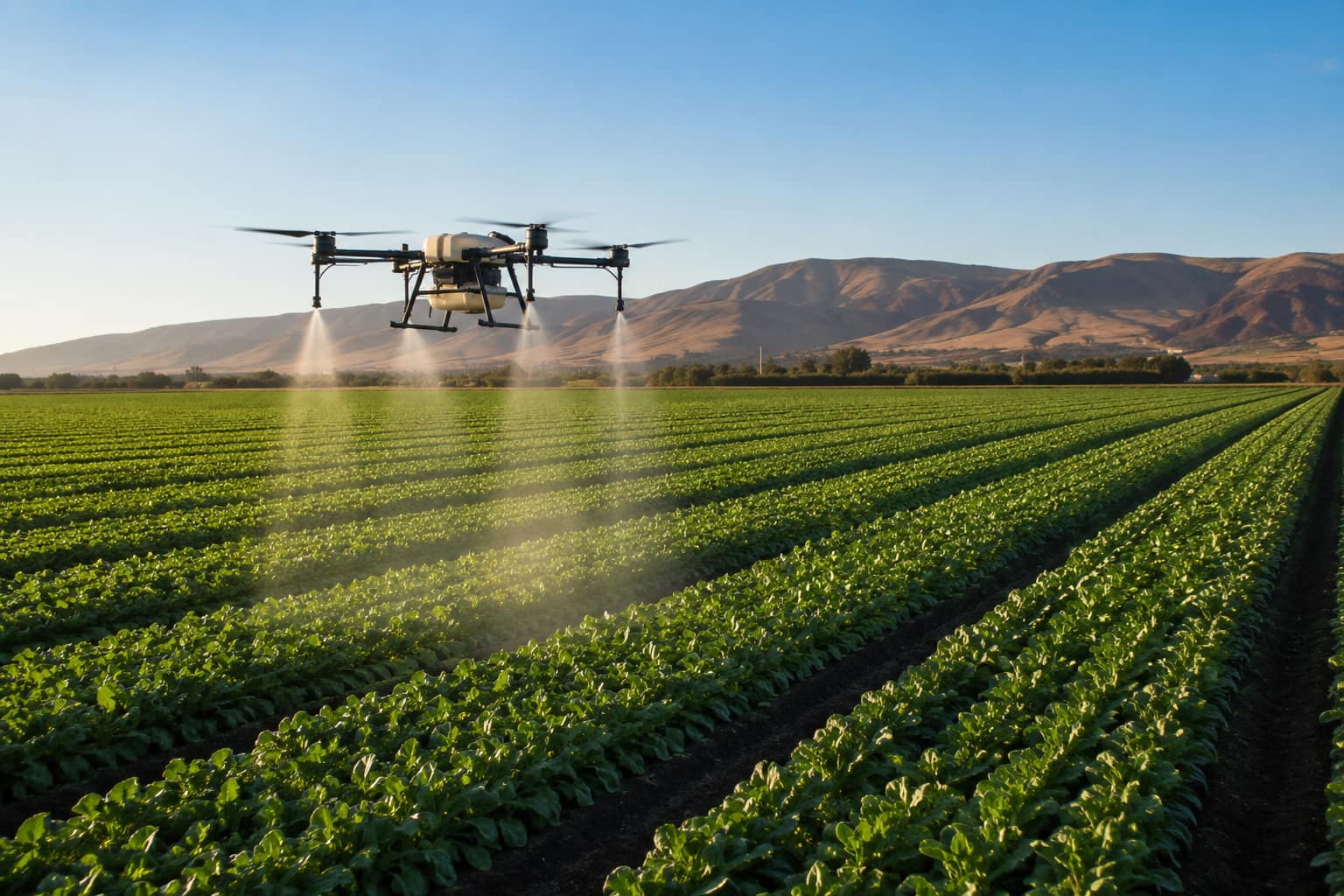
What agricultural drone services actually do, what they cost per acre in California, the FAA and DPR licenses a legitimate operator must hold, and how to hire one.