Verified Providers
Review provider profiles, ratings, and credentials before you book.
browse smart farm on agnomy
Region
Sacramento Valley
USDA zone
9b
Services
12
Providers
5
Find verified smart farm providers, compare options, and book the right team for your operation, all in one place.
Refine your search
Search the full catalog. Every path lands on the same vetted providers.
The full catalog
Matches
12 results
Filter by location, distance, crop, and price. Tap a card to view the storefront and request a quote.
Why Agnomy
Review provider profiles, ratings, and credentials before you book.
Providers know smart farm timing, regional conditions, and best practices in your area.
Compare quotes from multiple providers in one place. No chasing phone calls.
Book fast with real-time availability, automated reminders, and clear status updates.
Explore the category
Browse related work under AgTech to find the providers, services, and crops that fit your operation.
More in AgTech
Frequently asked
What growers ask before they book smart farm on Agnomy.
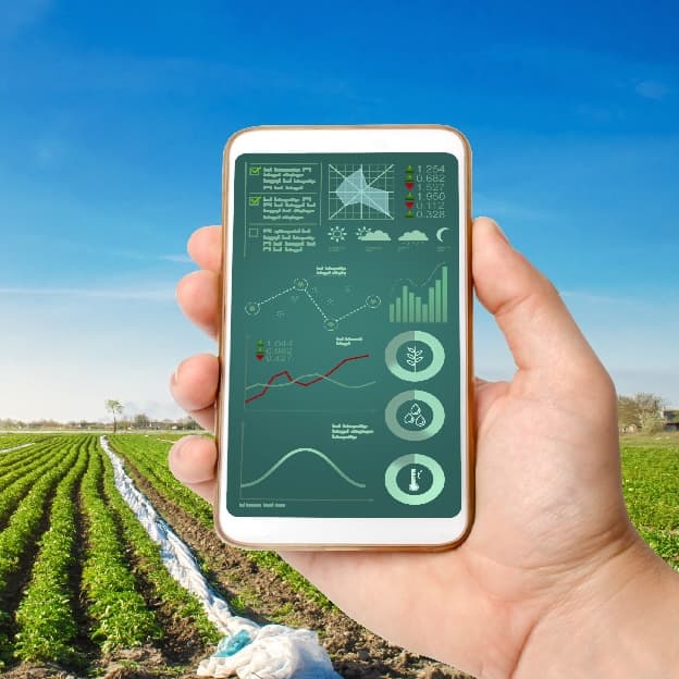
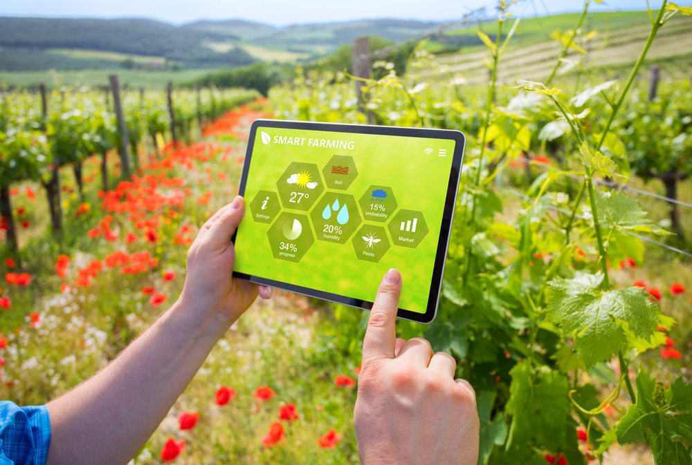
Smart farming uses connected technology such as GPS guidance, sensors, variable rate equipment, and data software to manage fields more precisely. The goal is to apply water, seed, and inputs where they are needed and cut waste. It turns field and machine data into decisions that improve efficiency and yield.
Variable rate technology adjusts how much seed, fertilizer, or water is applied across a field based on prescription maps. Instead of one flat rate, equipment changes output zone by zone to match soil and yield potential. This reduces input costs and over-application while supporting healthier, more uniform crops.
Common precision agriculture tools include GPS guidance and auto-steer, variable rate applicators, soil and weather sensors, remote sensing from satellites or drones, and farm data platforms. These systems map fields, track machinery, and guide targeted decisions. Many connect through IoT networks for real-time monitoring.
Smart farm technology can pay off at many sizes because savings on water, fertilizer, and fuel scale with use, and entry-level tools like GPS guidance and soil sensors are increasingly affordable. The right starting point depends on crop value and the biggest input costs. Many growers add capabilities one step at a time.
Ready when you are
Connect with verified providers and request quotes in minutes.
Smart Farm in Woodland
From the blog
Field notes, seasonal guides, and grower interviews — straight from the team.
 Industry News
Agriculture has become more specialized, and many growers are discovering that hiring experienced agricultural service providers can be more efficient than owning every piece of equipment. Here's why the modern farm is evolving.
 Technology & Innovation
Agriculture today involves much more than growing crops. Learn how modern AgTech tools are helping farmers manage schedules, teams, employee hours, customer relationships, invoices, reporting, and day-to-day operations from one place.
 Technology & Innovation
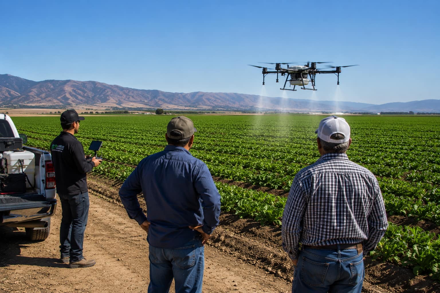
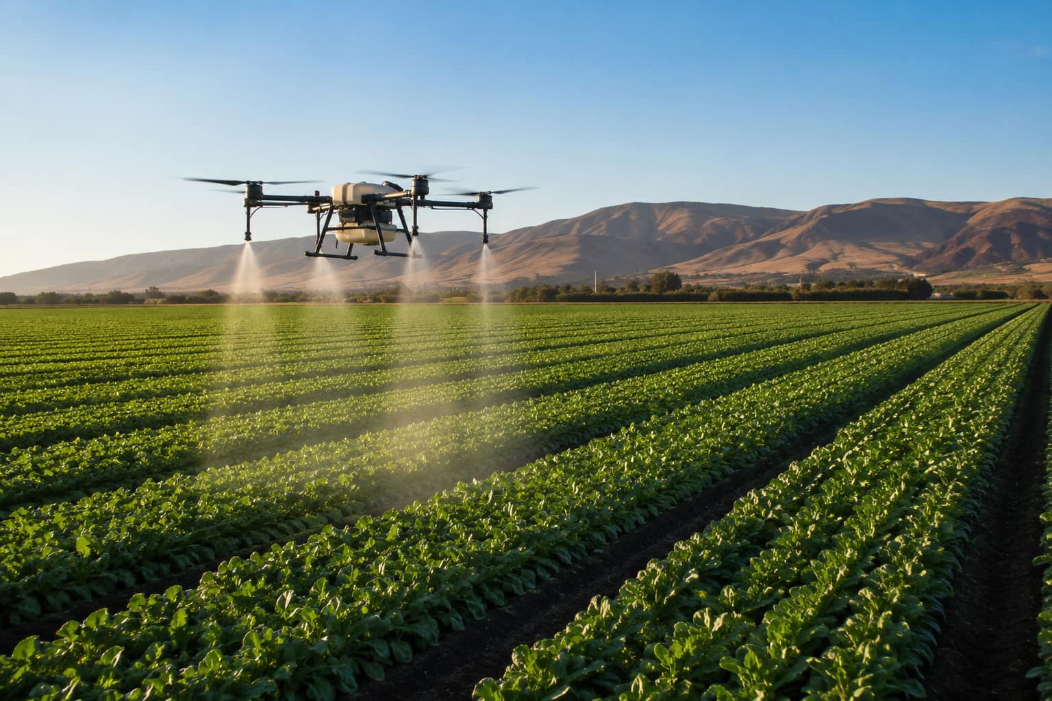
What agricultural drone services actually do, what they cost per acre in California, the FAA and DPR licenses a legitimate operator must hold, and how to hire one.
Showing 11 of 14 services with a provider within 50 mi of Woodland.
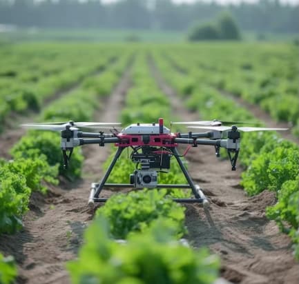
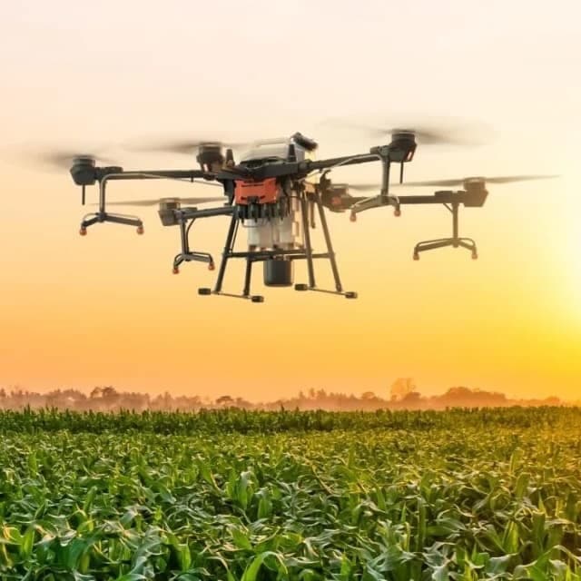
Drone service providers offer efficient pest survey solutions, using aerial imagery and multispectral sensors to detect infestations and guide targeted pest control strategies.
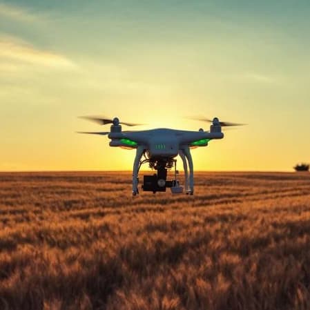
Drone orthomosaic mapping services from Agnomys provide high-resolution, georeferenced aerial imagery to help farmers visualize, measure, and manage their land with greater precision and efficiency.
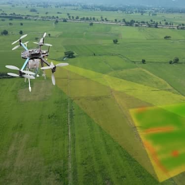
Drone 3D mapping and terrain modeling services from Agnomys provide detailed elevation data and topographic insights to help farmers improve land planning, optimize irrigation, and support precision agriculture.
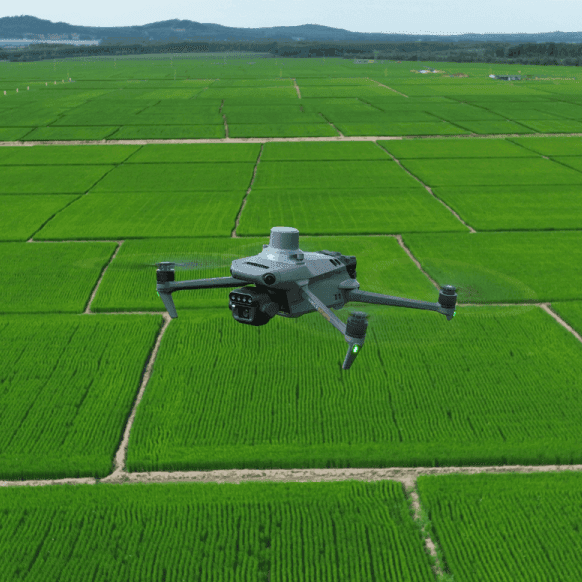
Drone multispectral survey services from Agnomys provide high-resolution insights into crop health, soil conditions, and field variability to support precision agriculture and smarter farming decisions.
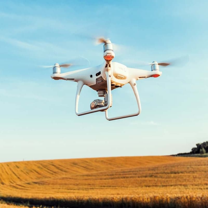
Agnomys connects farmers with drone service providers who capture high-resolution aerial photos and videos for crop monitoring, project tracking, and marketing content.
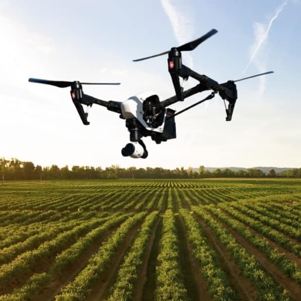
Agnomys connects farmers with drone service providers to inspect, analyze, and document irrigation systems using aerial video and imagery for efficient water distribution and system performance.
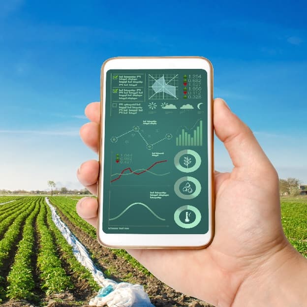
Smart irrigation systems optimize water usage through automation and real-time data, improving efficiency and sustainability for agricultural operations.
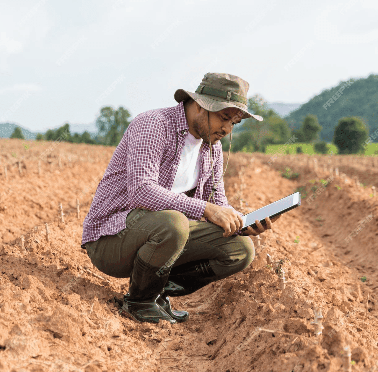
GPS soil sampling uses advanced technology to analyze soil conditions with precision, providing farmers with detailed data on nutrients, pH levels, and moisture to optimize crop management and sustainability.
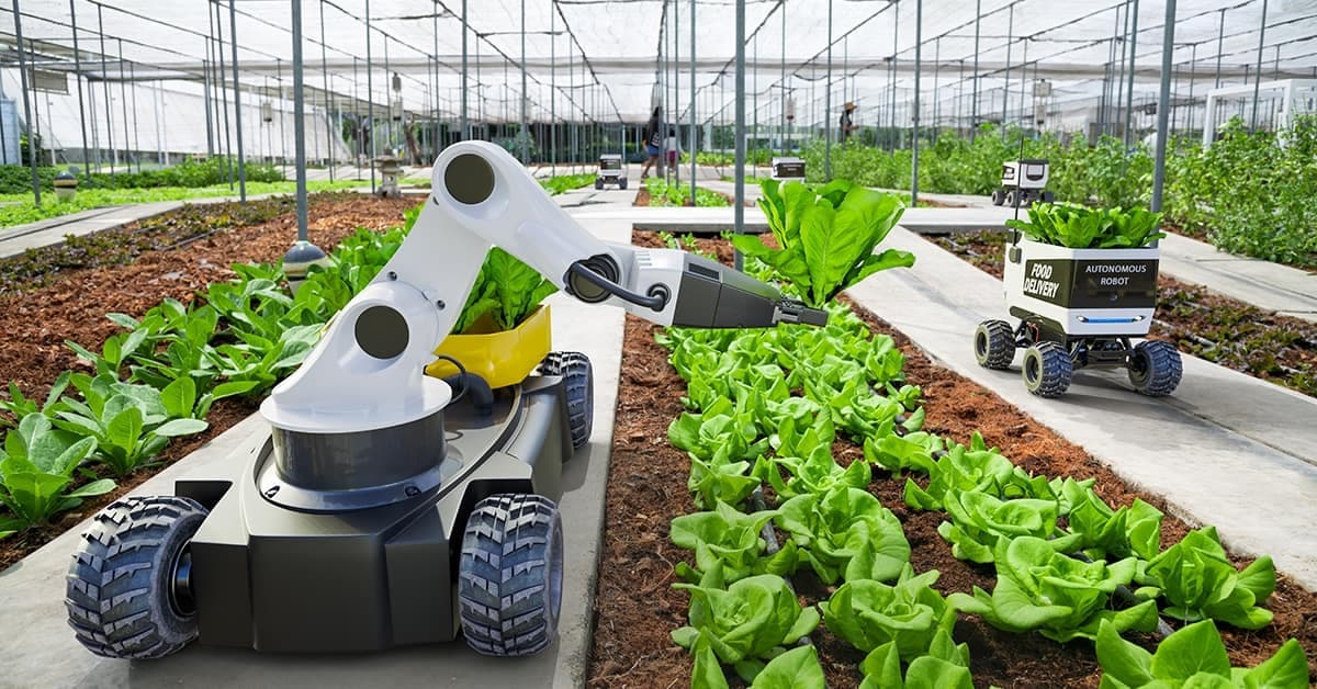
Ag automation services enhance farming efficiency by utilizing precision technology, automated irrigation, smart harvesting, robotics, and data-driven management to optimize productivity and reduce labor costs.
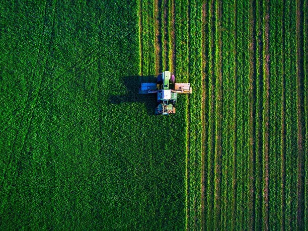
Aerial imagery services provide high-resolution drone and satellite data to help farmers monitor crop health, assess field conditions, optimize irrigation, and improve overall farm management.
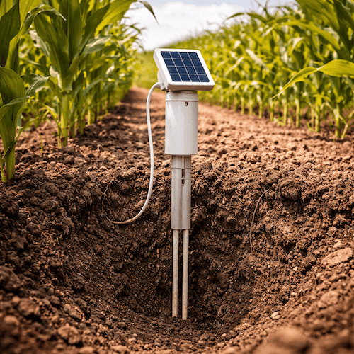
Soil probe sale, lease, and installation services to monitor soil moisture and improve irrigation decision-making.