Licensed operators only
Every drone provider lists the FAA Part 107, Part 137, and state applicator credentials the work requires, so you never book an unlicensed application.
browse ag drone services on agnomy
Region
Sacramento Valley
USDA zone
9b
Services
7
Providers
4
Find ag drone services in Sacramento, CA for precision spraying, crop scouting, and aerial mapping.
Refine your search
Search the full catalog or pivot by crop. Every path lands on the same vetted providers.
The full catalog
Matches
7 results
Filter by location, distance, crop, and price. Tap a card to view the storefront and request a quote.
By crop served
12 crops
Providers offering ag drone services specialize in the crops below. Tap a crop to find the right team.
Why Agnomy
Every drone provider lists the FAA Part 107, Part 137, and state applicator credentials the work requires, so you never book an unlicensed application.
See who is available near your fields and lock a slot before the dormant, bloom, or hull-split window closes.
Compare per-acre quotes and minimum-acreage floors up front, with chemical cost kept separate so you see the real application price.
Book spraying, NDVI and multispectral imaging, or field mapping from the same local providers, matched to your crop and canopy.
Explore the category
Browse related work under AgTech to find the providers, services, and crops that fit your operation.
More in AgTech
“Ag drone services cover three distinct jobs, and the most common money mistake growers make is letting an operator blur them together”
Ag drone services cover three distinct jobs, and the most common money mistake growers make is letting an operator blur them together. Spray application puts liquid on the crop (herbicide, fungicide, foliar feed). Imaging and mapping produces data (multispectral, NDVI, thermal) with no product applied. Inspection and counting is a fast set of eyes for stand counts, tree counts, and post-storm checks. Each is priced differently, licensed differently, and worth booking for a different reason.
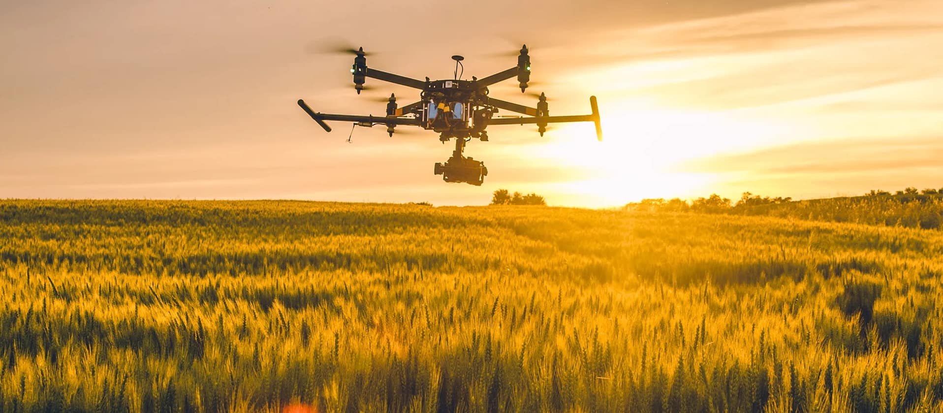
Drones earn their keep when timing and access beat brute force. A spray drone flies when the ground is too wet for a rig, when the canopy is too tall or dense to drive, and when a block has to be covered inside a tight weather window a ground crew would miss. It applies at low volume with tight droplet control, so drift and off-target loss drop against a broadcast pass. For steep, terraced, or oddly shaped ground a tractor cannot reach cleanly, a drone is often the only precise option.
What it costs. In specialty crops (orchards, vineyards, vegetables), contract drone spraying typically runs $18 to $40 per acre, with the chemical supplied by the grower. Commodity row crops run cheaper. Complex work (multispectral analysis, prescription spraying, small or awkward blocks) sits at the top of that range or above. Most operators set a minimum-acreage floor, so a small parcel pays a premium per acre. Imaging-only flights are usually billed per acre or per hour and land well below spray rates.
Licensing is not optional. Every legitimate commercial operator holds an FAA Part 107 remote pilot certificate. Anyone dispensing chemicals also needs an FAA Part 137 agricultural aircraft operator certificate, and most ag spray drones cross the 55-pound line, which pulls in a Section 44807 exemption. On top of the federal rules, most states require their own pesticide-applicator license to spray, so confirm the operator holds the right state credentials before any product goes on.
By crop. Almond and walnut growers use drones for dormant and hull-split sprays where ground access is limited, and for vigor maps across the block. Vineyards lean on them for targeted fungicide in tight rows and canopy imaging that guides thinning and irrigation. Tomatoes, rice, and leafy vegetables use fast foliar passes and NDVI scouting that flags problem zones before they spread. In every case the deliverable is the point: a treated block, a map you can act on, or a count you can trust.
Licensing in California. To spray in California, an operator needs a DPR Unmanned Pest Control Aircraft Pilot Certificate (Apprentice, then Journeyman) under AB 527, a pest control business license, and registration with your county agricultural commissioner, plus permits for restricted materials. California spray windows are tight, dormant and hull split in almonds, bloom and veraison in grapes, so book aerial capacity early in the season. The providers listed here are licensed to apply in California and can quote your block and crop directly.
Frequently asked
What growers ask before they book ag drone services on Agnomy.
For specialty crops like orchards, vineyards, and vegetables, contract drone spraying generally runs $18 to $40 per acre, with the grower supplying the chemical. Commodity row crops are cheaper. Advanced work (prescription spraying, multispectral analysis) and small or awkward blocks sit at the top of the range or above, and most operators apply a minimum-acreage floor.
Federal rules apply everywhere: FAA Part 107 for any commercial flight, and FAA Part 137 (plus a Section 44807 exemption for drones over 55 pounds) for dispensing chemicals. Most states also require a pesticide-applicator license to spray, so confirm the specific credentials required in your state. Imaging and scouting flights need Part 107 only.
When the ground is too wet to drive, the canopy is too tall or dense for a rig, the block is steep, terraced, or small, or the spray window is too tight for a ground crew. Drones apply at low volume with tight droplet control, which cuts drift and off-target loss. For very large flat acreage on a loose timeline, a ground rig or manned aircraft can still be cheaper per acre.
Yes, and orchards and vineyards are where drones shine. They reach tall or dense canopy, tight rows, and terraced ground that ground equipment struggles with, and they fly on days the orchard floor is too wet to drive. Confirm the operator has sprayed your specific crop and canopy type before booking.
On most jobs the grower supplies the product and the operator supplies the aircraft, the labor, and the licensed application. Per-acre quotes almost always exclude chemical cost. Confirm who holds the applicator license under which the material is applied, since that responsibility stays with the licensed applicator.
It depends on the aircraft, tank size, swath, and how far the mixing station sits from the field, but a modern ag drone commonly covers roughly 40 to 100 or more acres of specialty crop per day per aircraft. Operators running multiple drones or swappable batteries and tanks cover more. Ask for a realistic daily rate for your block size when you request a quote.
Spraying applies product to the crop and requires Part 137 plus a state applicator license. Imaging and mapping (multispectral, NDVI, thermal) applies nothing and produces data you act on: stand counts, vigor variability, irrigation and stress diagnosis. Imaging needs only Part 107, is cheaper, and is often the first drone service a grower books.
Modern ag drones apply at low volume with controlled droplet size and follow the field boundary and terrain closely, which reduces drift versus a broadcast ground or aerial pass. Accuracy still depends on wind, nozzle setup, and pilot skill, so a licensed, experienced operator matters. State drift rules and product label requirements apply the same as any application.
Ready when you are
Connect with verified providers and request quotes in minutes.
Ag Drone Services in Sacramento
From the blog
Field notes, seasonal guides, and grower interviews — straight from the team.
 Technology & Innovation
Agriculture today involves much more than growing crops. Learn how modern AgTech tools are helping farmers manage schedules, teams, employee hours, customer relationships, invoices, reporting, and day-to-day operations from one place.
 Technology & Innovation
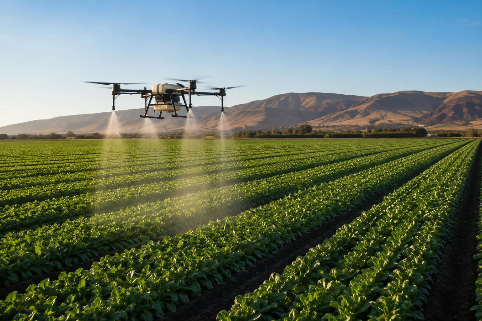
What agricultural drone services actually do, what they cost per acre in California, the FAA and DPR licenses a legitimate operator must hold, and how to hire one.
 Industry News
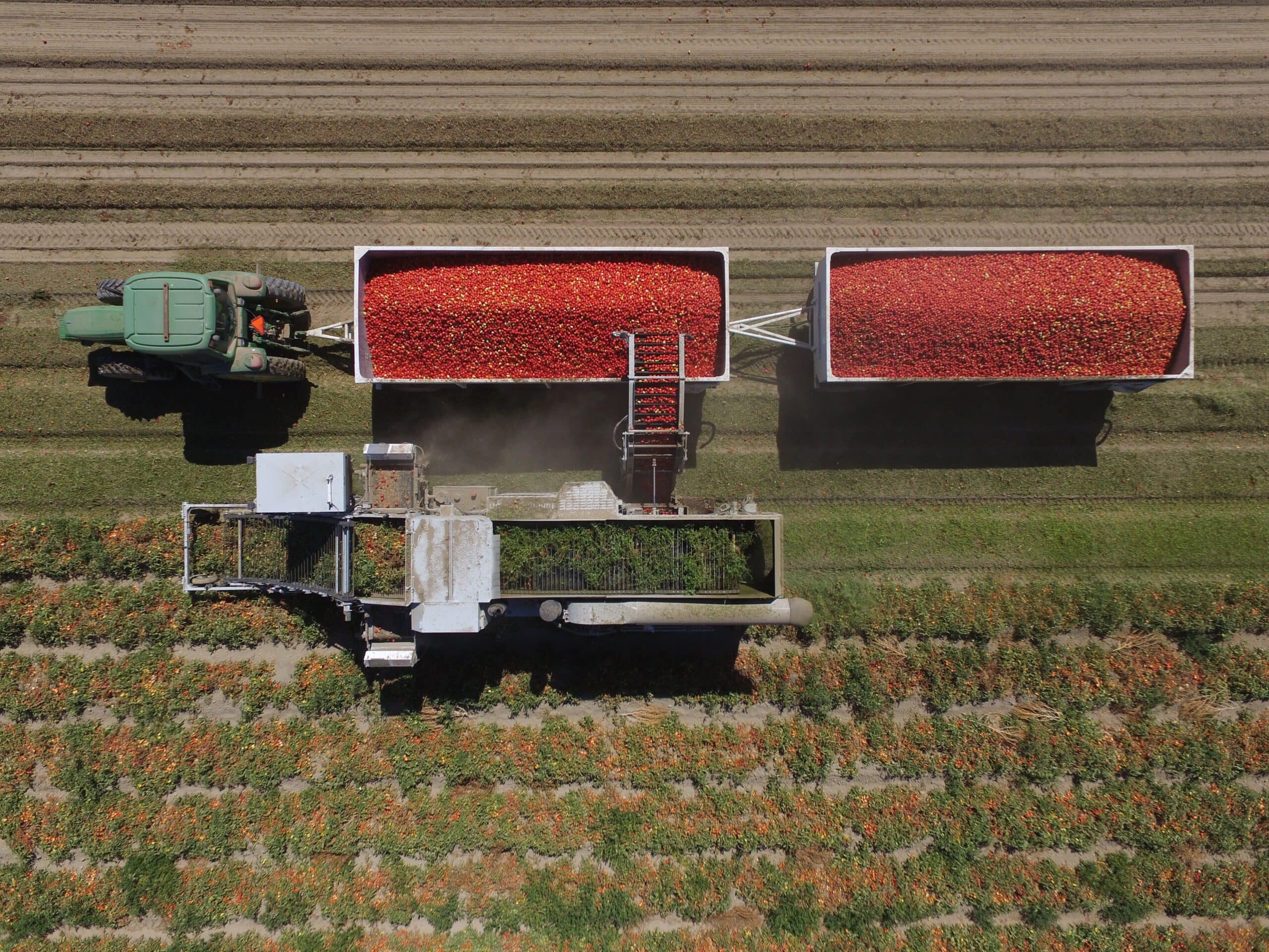
California's processing tomato harvest is underway. We break down the latest crop forecast, contract pricing, market demand, harvest conditions, and the biggest issues growers are watching this season.
Showing 17 of 17 services with a provider within 50 mi of Sacramento.
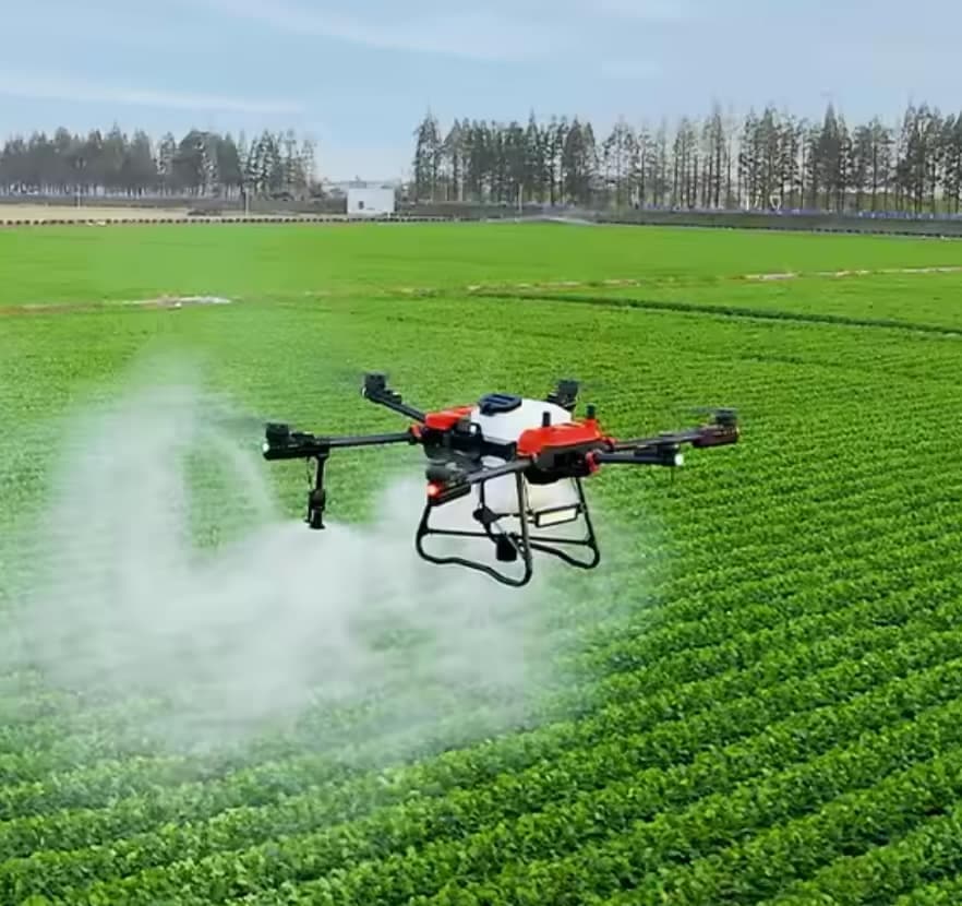
Drone fertilizer application provides precise, efficient nutrient distribution, improving crop health, reducing waste, and enhancing overall farm productivity.
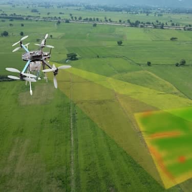
Drone 3D mapping and terrain modeling services from Agnomys provide detailed elevation data and topographic insights to help farmers improve land planning, optimize irrigation, and support precision agriculture.
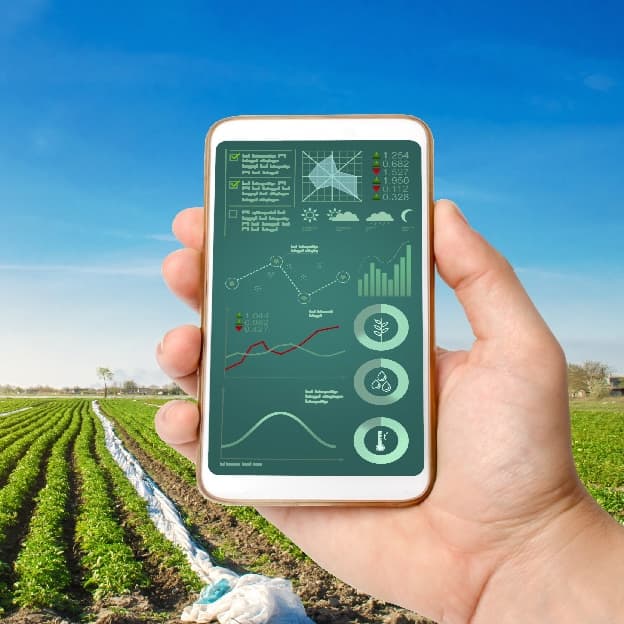
Smart irrigation systems optimize water usage through automation and real-time data, improving efficiency and sustainability for agricultural operations.
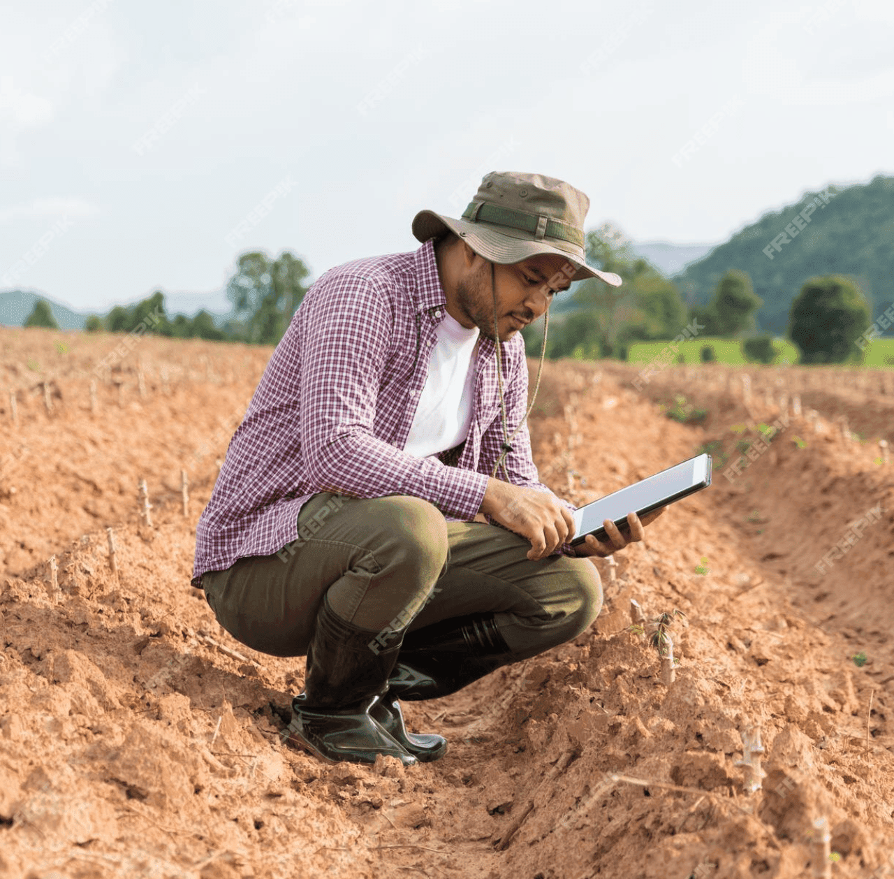
GPS soil sampling uses advanced technology to analyze soil conditions with precision, providing farmers with detailed data on nutrients, pH levels, and moisture to optimize crop management and sustainability.
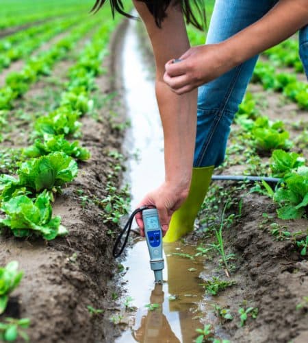
Comprehensive agricultural water analysis ensures optimal irrigation, livestock health, and regulatory compliance by testing for pH, salinity, nutrients, contaminants, and overall water quality.
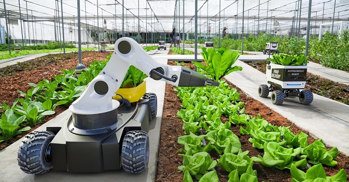
Ag automation services enhance farming efficiency by utilizing precision technology, automated irrigation, smart harvesting, robotics, and data-driven management to optimize productivity and reduce labor costs.
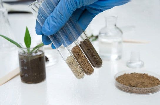
Comprehensive soil analysis services provide farmers with essential insights into soil health, including nutrient levels, pH balance, organic matter, moisture content, and contamination, enabling precise land management and improved crop productivity.
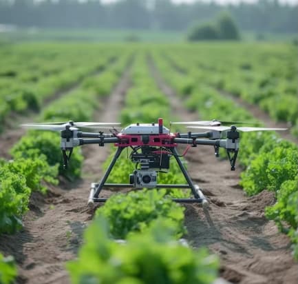
Drone service providers offer efficient pest survey solutions, using aerial imagery and multispectral sensors to detect infestations and guide targeted pest control strategies.
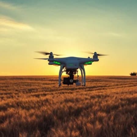
Drone orthomosaic mapping services from Agnomys provide high-resolution, georeferenced aerial imagery to help farmers visualize, measure, and manage their land with greater precision and efficiency.
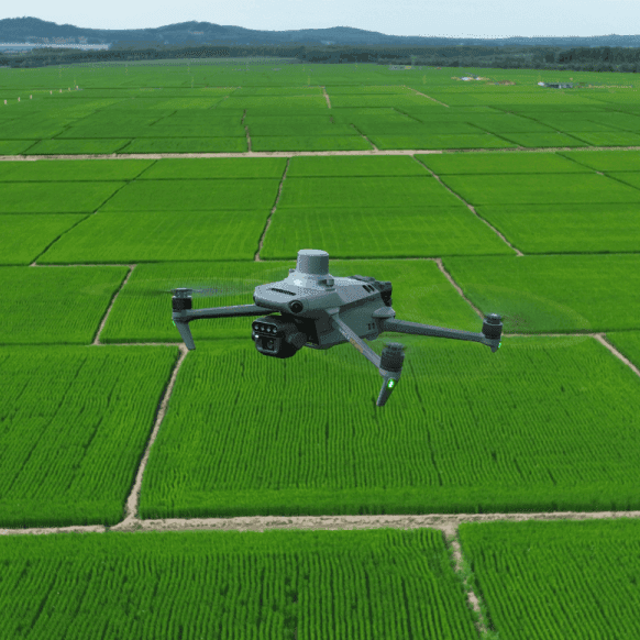
Drone multispectral survey services from Agnomys provide high-resolution insights into crop health, soil conditions, and field variability to support precision agriculture and smarter farming decisions.
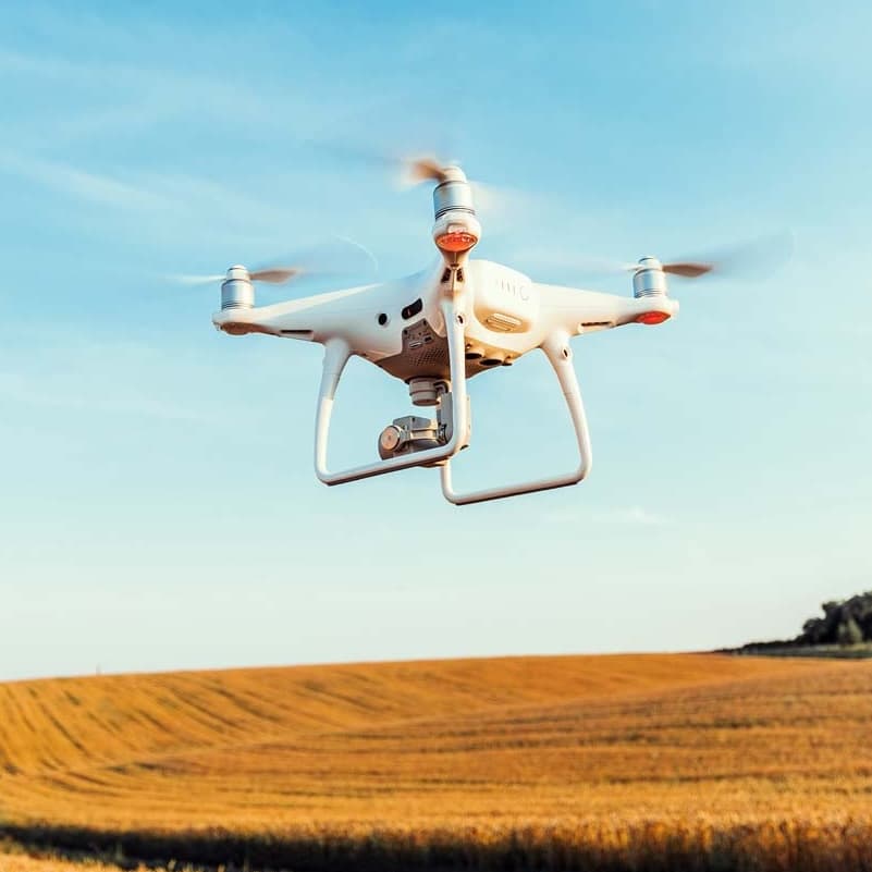
Agnomys connects farmers with drone service providers who capture high-resolution aerial photos and videos for crop monitoring, project tracking, and marketing content.
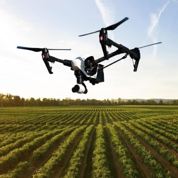
Agnomys connects farmers with drone service providers to inspect, analyze, and document irrigation systems using aerial video and imagery for efficient water distribution and system performance.
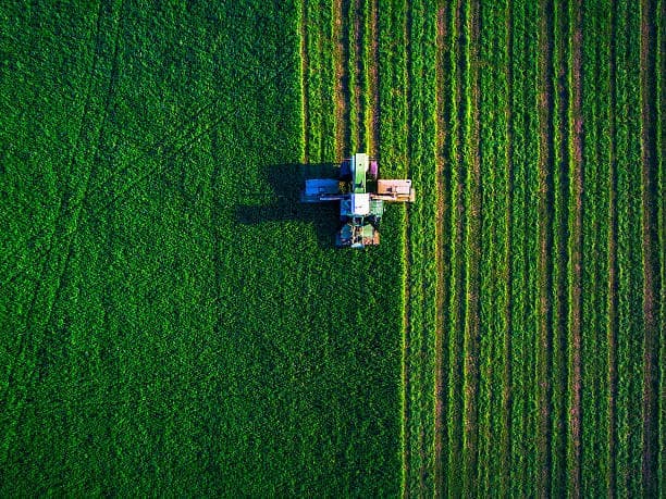
Aerial imagery services provide high-resolution drone and satellite data to help farmers monitor crop health, assess field conditions, optimize irrigation, and improve overall farm management.
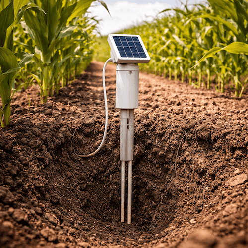
Soil probe sale, lease, and installation services to monitor soil moisture and improve irrigation decision-making.
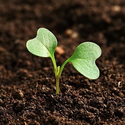
Manure and compost analysis services provide essential insights into nutrient content, organic matter, pH balance, and potential contaminants, helping farmers optimize soil fertility and sustainable crop production.
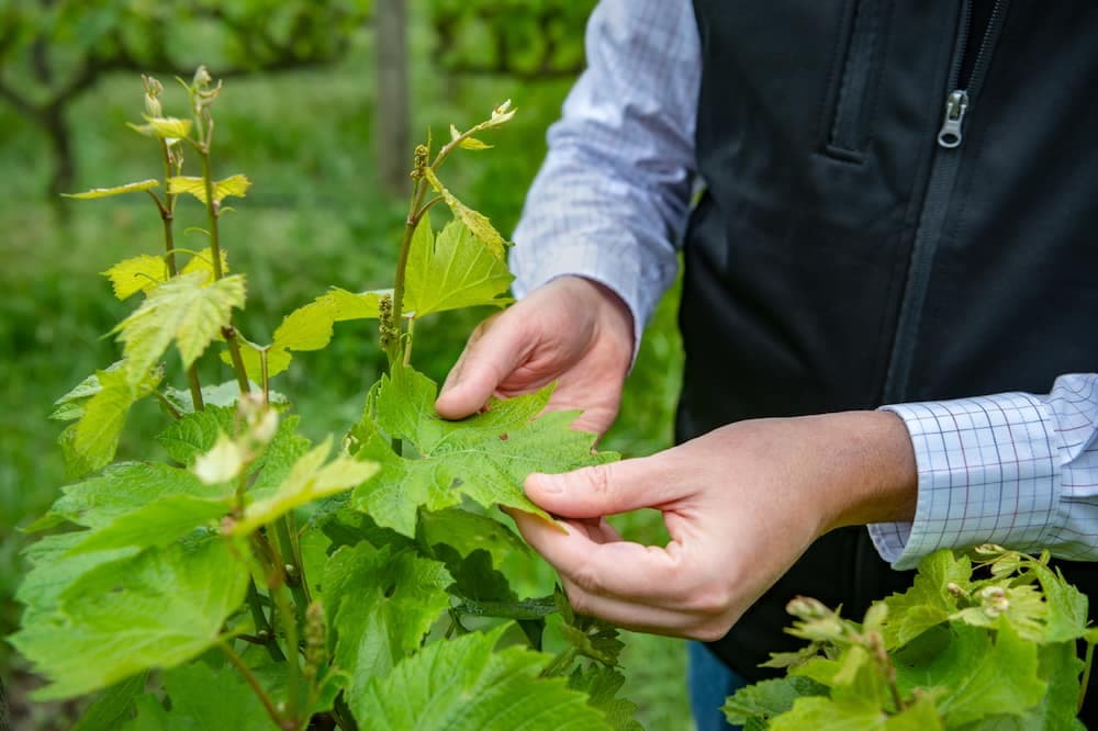
Tissue analysis helps farmers monitor plant health, detect nutrient deficiencies, and optimize fertilization strategies for improved crop performance and yield.

EC Mapping services use advanced technology to analyze soil variability, helping farmers optimize irrigation, fertilization, and crop management for improved yields and efficiency.